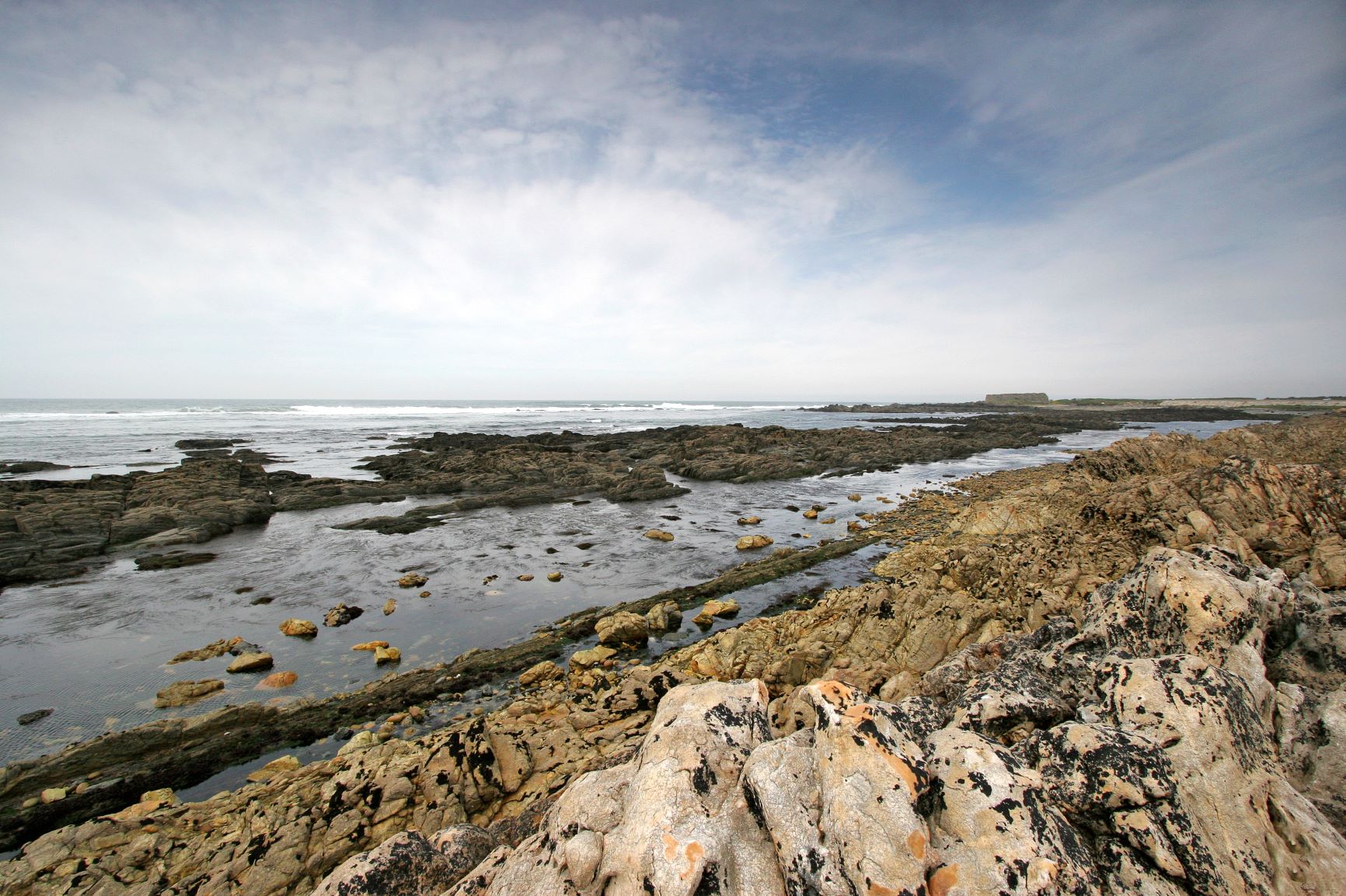
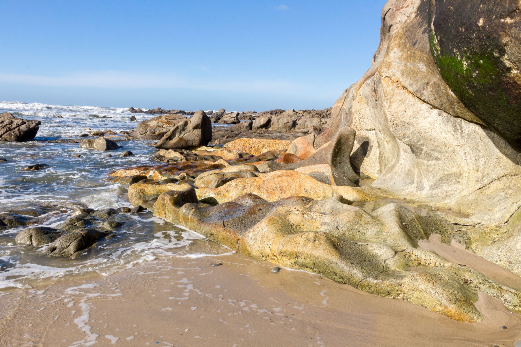
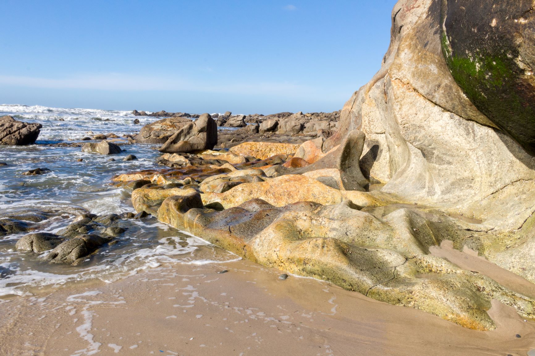
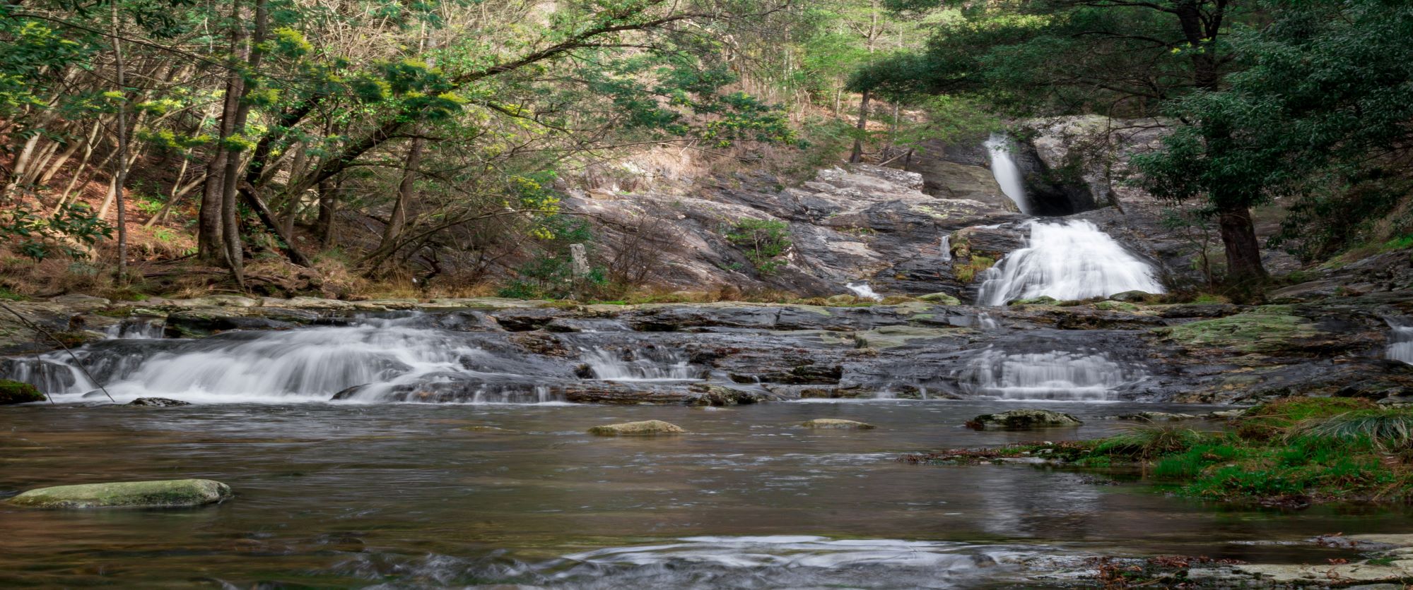
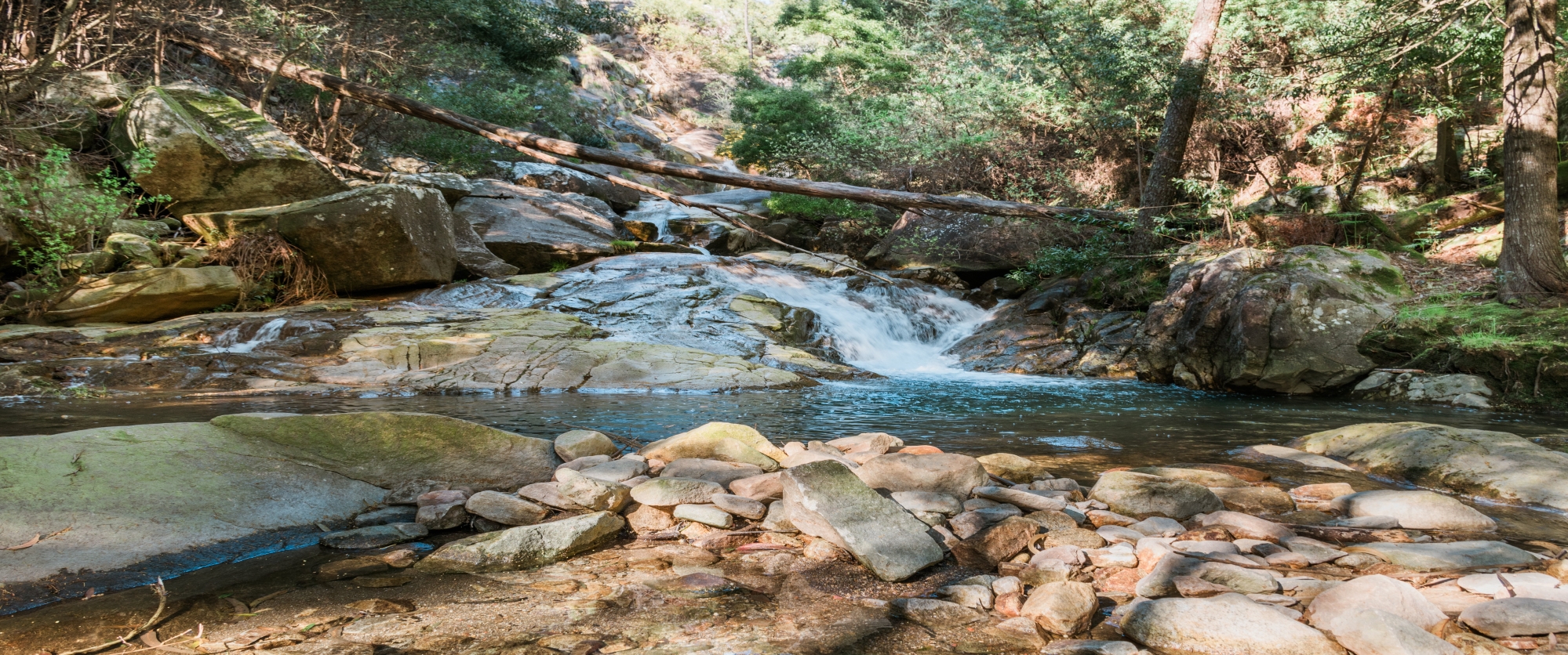
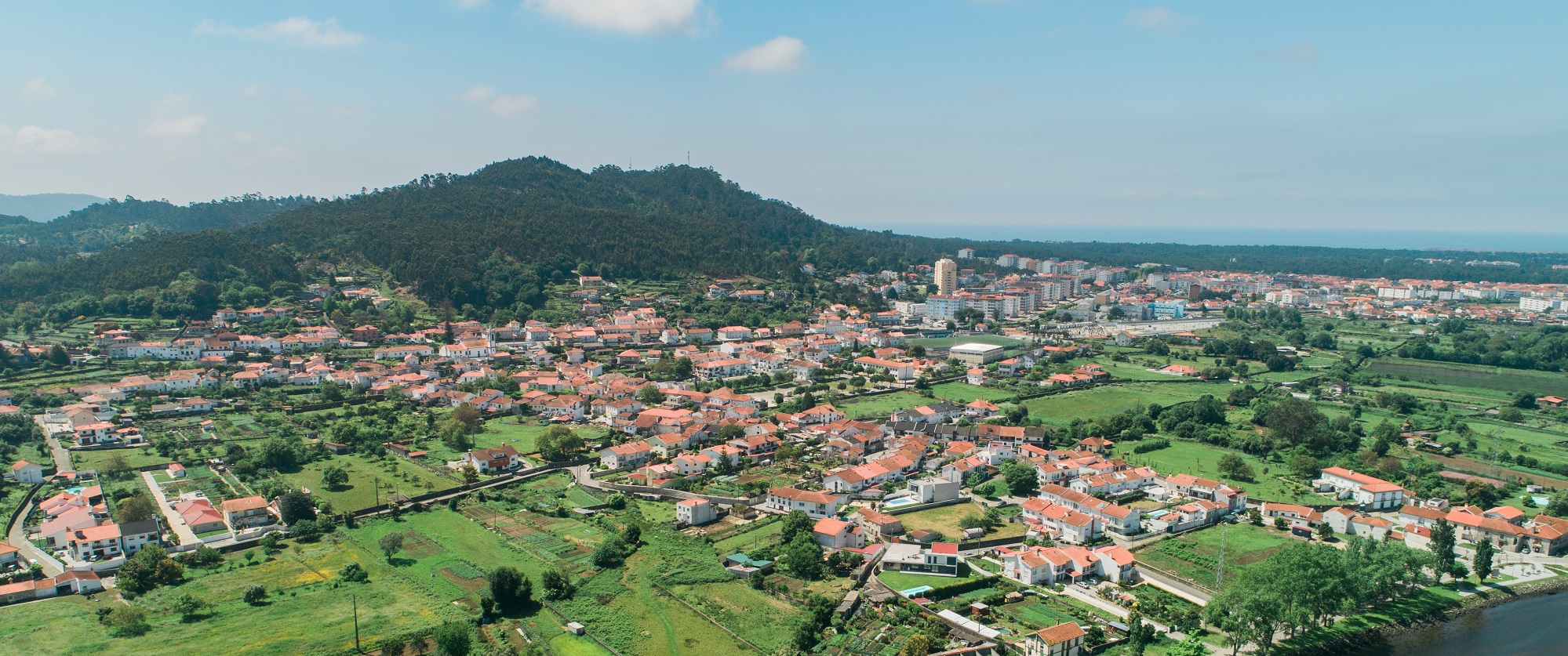
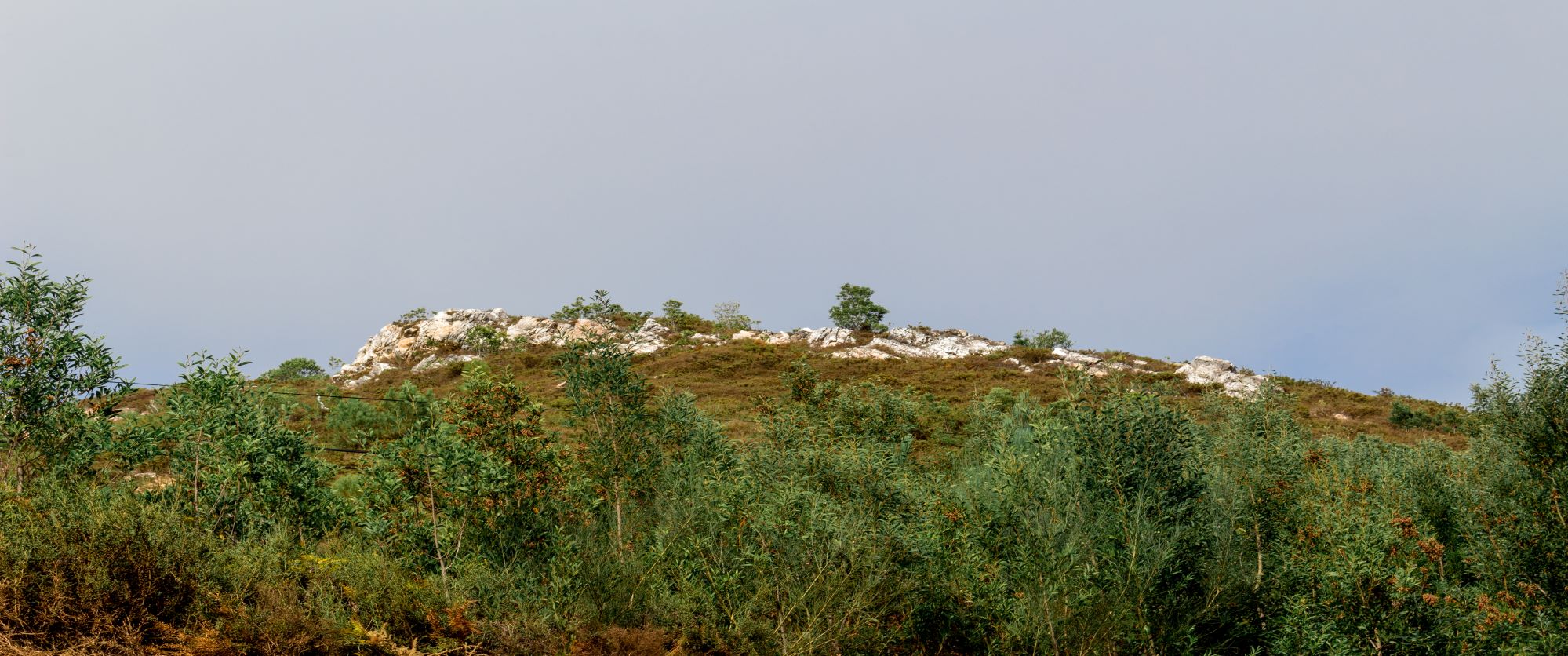
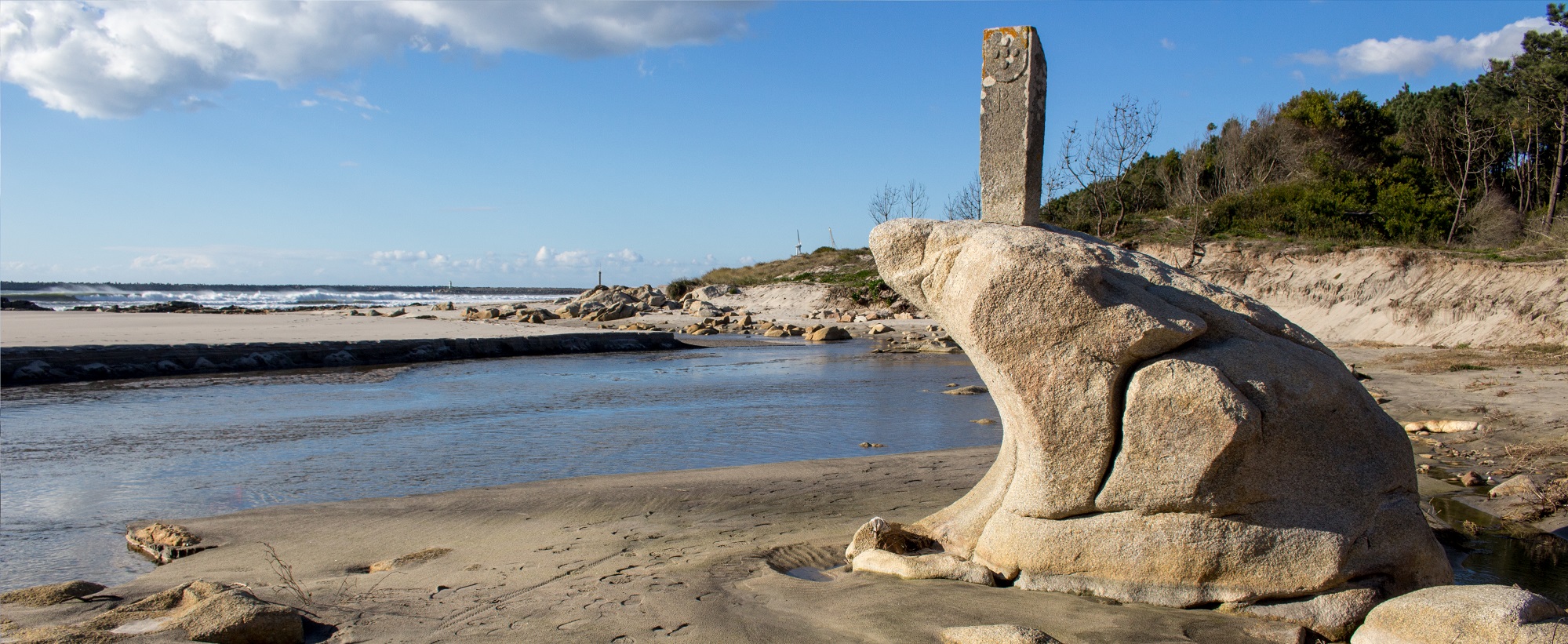
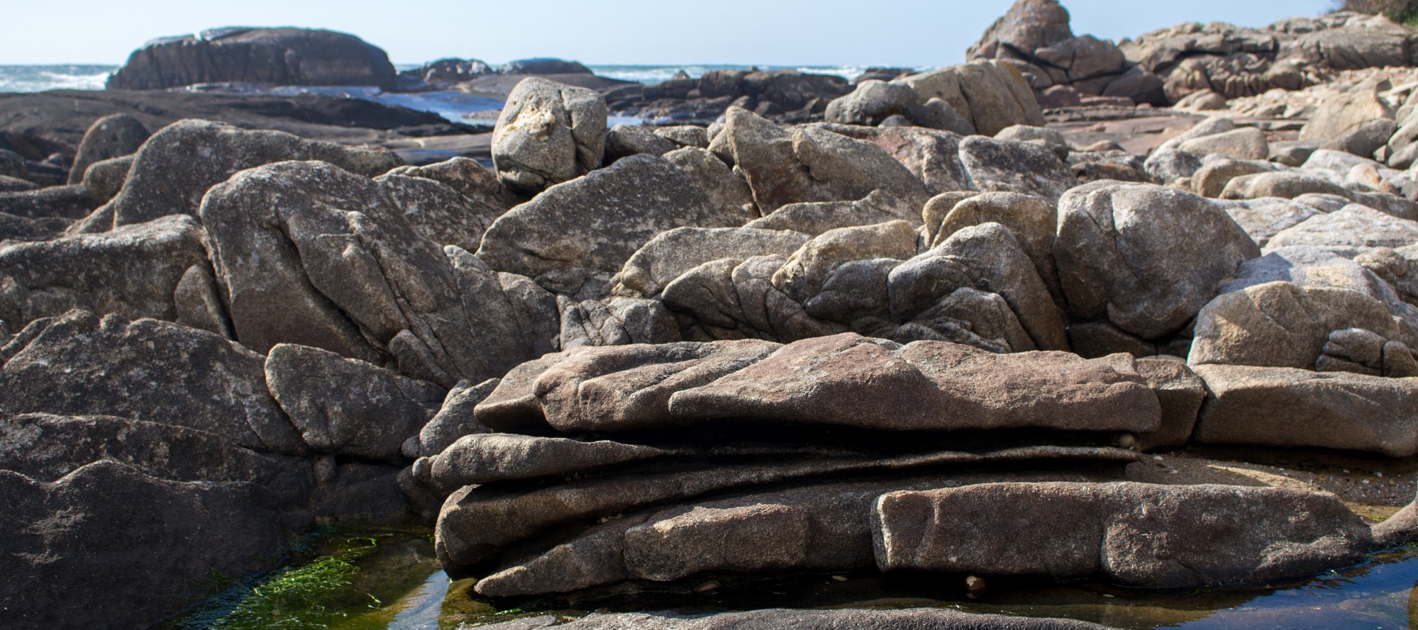
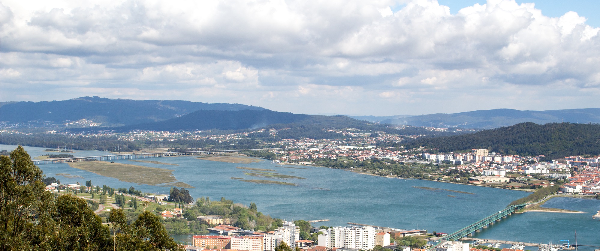
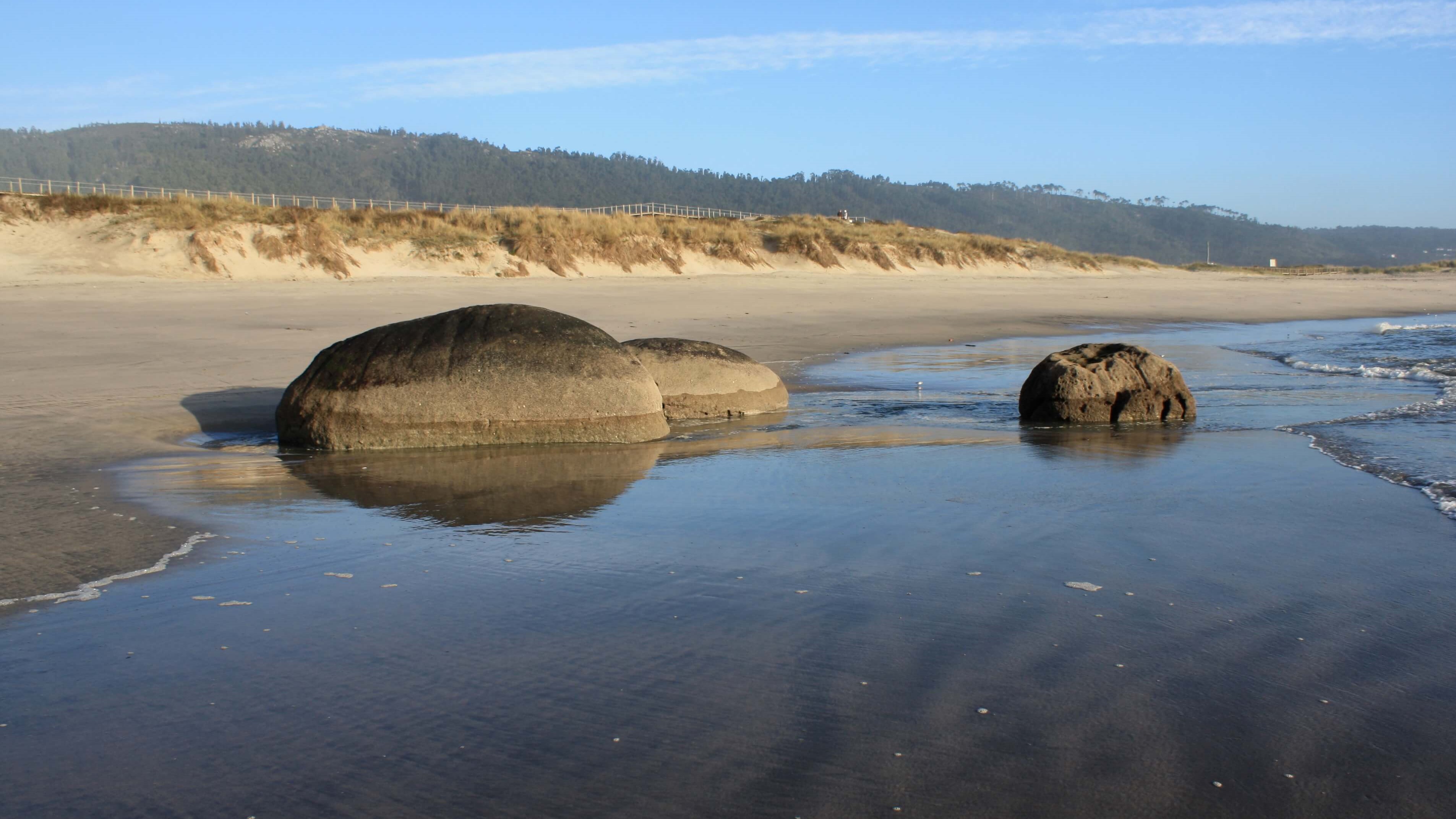
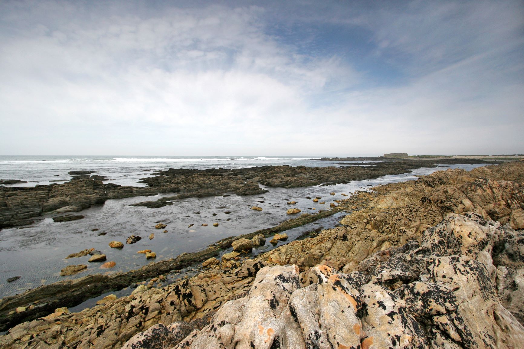
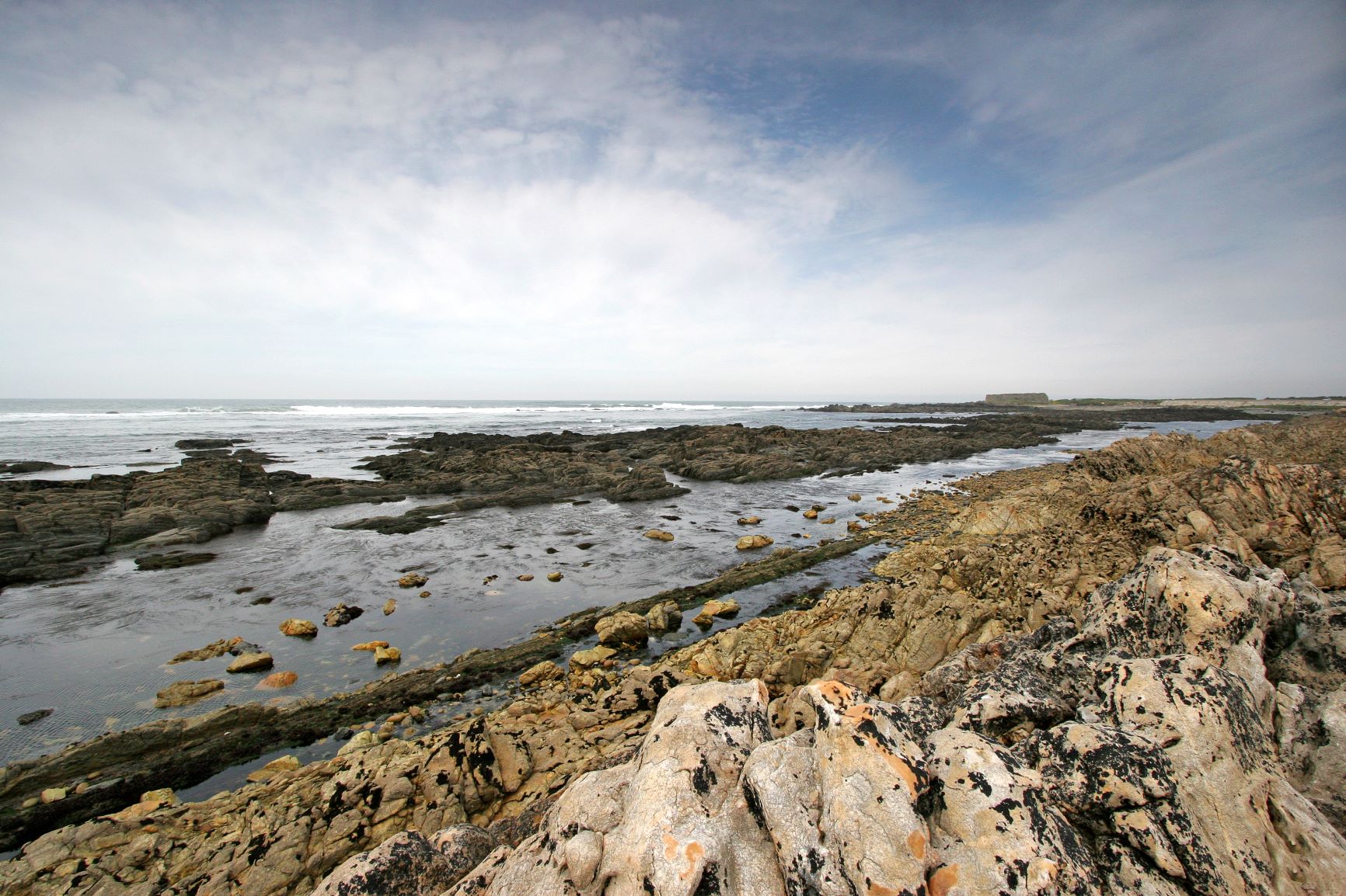
The Alcantilado de Montedor Local Natural Monument has approximately 55ha, bounded at north by the Paçô’s Fort and at south by the Camboa do Marinheiro’s Beach. The geological values identified in the area allow us to understand, in high d ...
Site - Aspiring UNESCO Viana do Castelo Geopark, Viana do Castelo
A Time travel that covers each meter of Viana do Castelo's 320 km2 and shows the records of what has happened on our planet for over 500 million years. Every minute of the passage of time is well recorded in every square meter of this place. Each episode of this story can be told in different ways… Aspiring to UNESCO's worldwide network of geoparks, the Viana do Castelo Geopark preserves the geological heritage that proves that Portugal was once part of the Southern Hemisphere and was bathed by an ocean that no longer exists. The marks of the Earth´s history in this territory are evidenced by the School Network of Science and Support for Scientific Research, the Natura 2000 Network and the 13 Local Natural Monuments. Travel along the Aspiring UNESCO Viana do Castelo Geopark and feel the past present!
REPRESENTATIVE
Telephone: 258821091
Email: reservas@geoparquelitoralviana.pt
Fax:
Website: http://www.geoparquelitoralviana.pt/
Points of Interest to visit at this Location
The Ancient beaches of Alcantilado de Montedor Natural Monument has approximately 55ha, bounded at north by the Paçô’s Fort and at south by the Camboa do Marinheiro’s Beach. The geological values identified in the area allow us to understa ...
Este Monumento Natural corresponde ao troço do Rio Âncora (leito e margens), entre Montaria e Amonde (36 ha). Para além do grande valor paisagístico do local, materializado no bom reconhecimento e apelo que a área tem para a fileira turísti ...
O Monumento Natural Local (52 ha) está localizado na freguesia da Areosa, a montante da Quinta da Boa Viagem (superfície de Vila Fria, 50 m) e desenvolve-se até à zona de Além do Rio, uma superfície estrutural desenvolvida a 160 m de altitu ...
The Local Natural Monument corresponds to the NE side of the Galeão massif (57 ha), located on the left bank of the mouth of the Lima River. In this area, three flattening surfaces are preserved: Vila Fria Surface (50 m), Ola Surface (75 m) ...
Segundo Carvalhido (2016) este monumento natural estabelece-se entre o v.g. do Folgadoiro e a cumeada da Serra de Amonde, a ocidente (1025 ha). É uma área-chave para observação dos maciços de Sta Luzia, Perre e Arga, nomeadamente os retalho ...
The Local Natural Monument of Praia Eemiana da Ribeira de Anha has a high scientific interest, associated with the preservation of important geomorphological and stratigraphic evidence (Carvalhido, 2014) The preservation of a clasto-suppor ...
The Local Natural Monument has an approximate area of 27 ha, facing north with the Forte do Cão (Caminha) geosite (Carvalhido, 2012, 2014a, 2014b, 2014d; to be classified). The area corresponds to a coastal stretch of approximately 500 m, d ...
The Ínsuas Fault Local Natural Monument stands out for its geomorphological importance associated to the activity of the Ínsuas fault (NNW-SSE) and the Lima fault (ENE-WSW) (Carvalhido, 2012; Carvalhido et al., 2014a, b, c). These structure ...
The Magmatic Drops in Canto Marinho Natural Monument is an area of about 24 ha, in the intertidal area of the Carreço coast, south of the Ancient beaches of Alcantilado de Montedor Natural Monument. This geosite presents some exclusive asp ...
This geosite, classified as Pedras Ruívas Local Natural Monument, corresponds to an area of approximately 58 ha, delimited between the northern proximal coastal sector of the Rego de Fontes Fort and the southern end of Praia Norte, with an ...
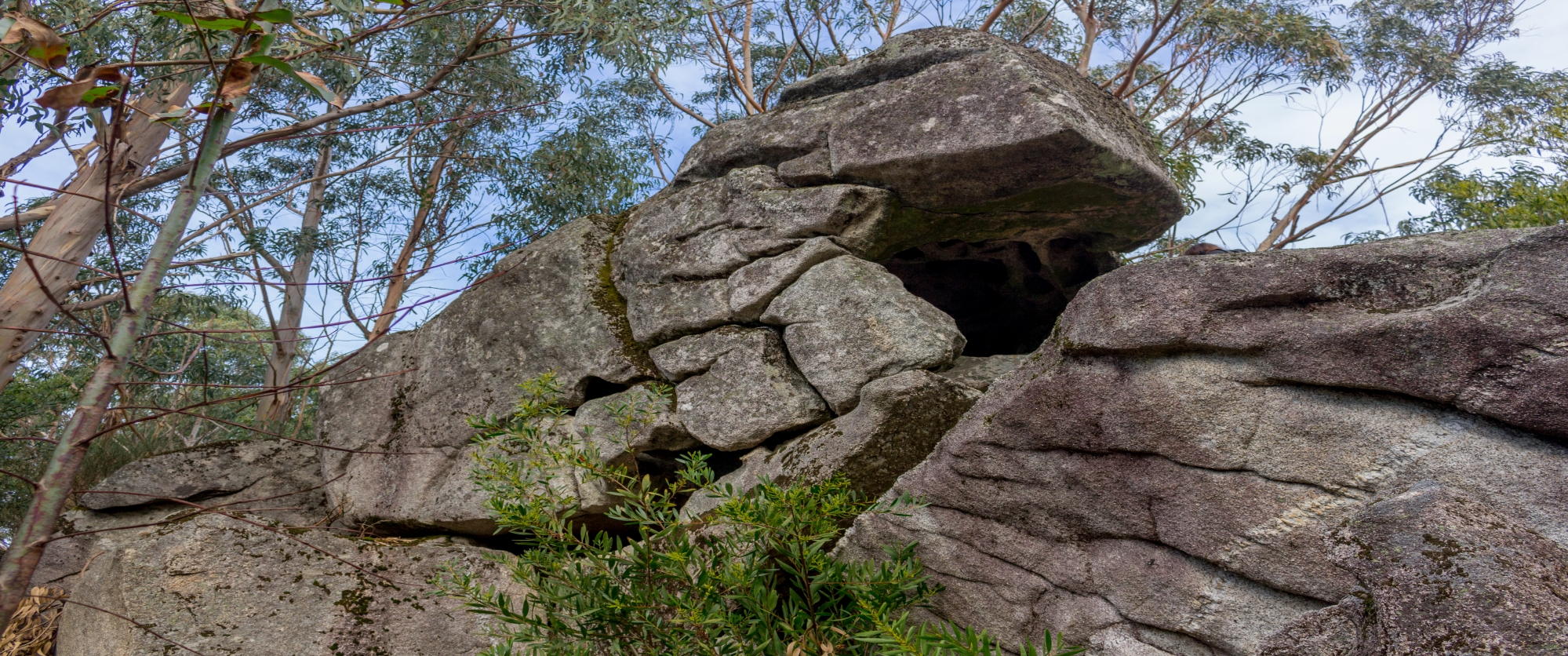
The geosite is located on the slope of the Serra de Santa Luzia, in the parish of Meadela (13 ha). It is made up of a granite boulder, in a parallelepiped form, emptied inside, with an opening for S/SO, compatible with a tafoné weathering p ...
Segundo Carvalhido (2012, 2014) este Monumento Natural Local corresponde a área com cerca de 908 ha, constituída a norte pela Chã de Afife, a leste pela Chã da Gurita de Couço e a sul, pelas Chãs de Carreço e de Areosa. O limite oeste do ge ...
This geosite, classified as Rheic Remain in Pedras Ruivas Natural Monument, corresponds to an area of approximately 58 ha, delimited between the northern proximal coastal sector of the Rego de Fontes Fort and the southern end of Praia Norte ...
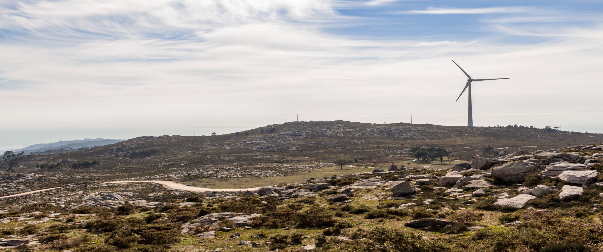
O Monumento Natural Local corresponde à superfície culminante de referência para o relevo do médio-baixo Lima (Superfície de Arga, ~800 m). Constitui uma ampla planura (591 ha), de que se destaca a Chã Grande, o Chão das Sizedas e a Chã de ...


