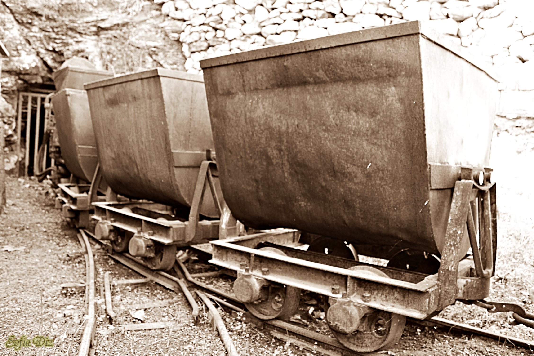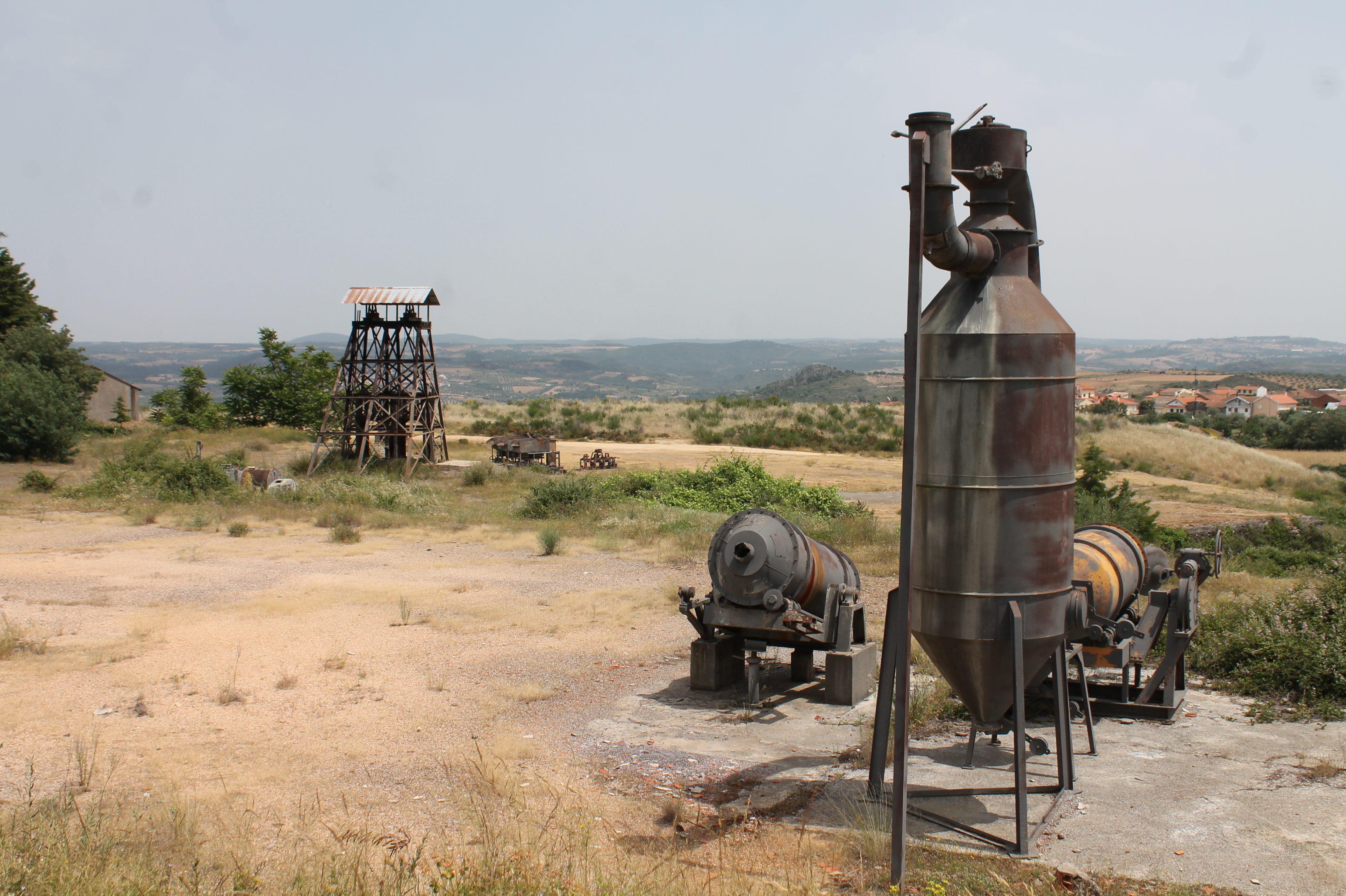


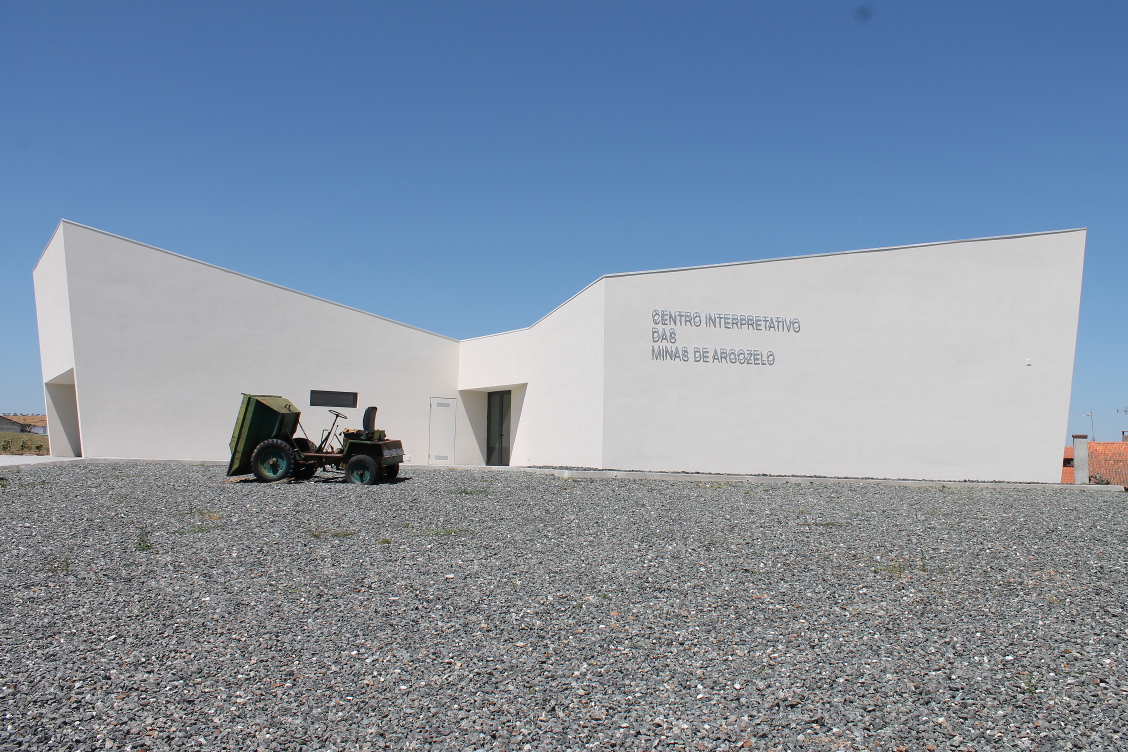
The "Centro Interpretativo das Minas de Argozelo" is located in "Cortinha do Calvário" in Argozelo. It was inaugurated on the 22nd of March 2015. The building has an exhibition room and an auditorium. In the exhibition room we can see an ex ...
Home /
Terras de Cavaleiros UNESCO Global Geopark /
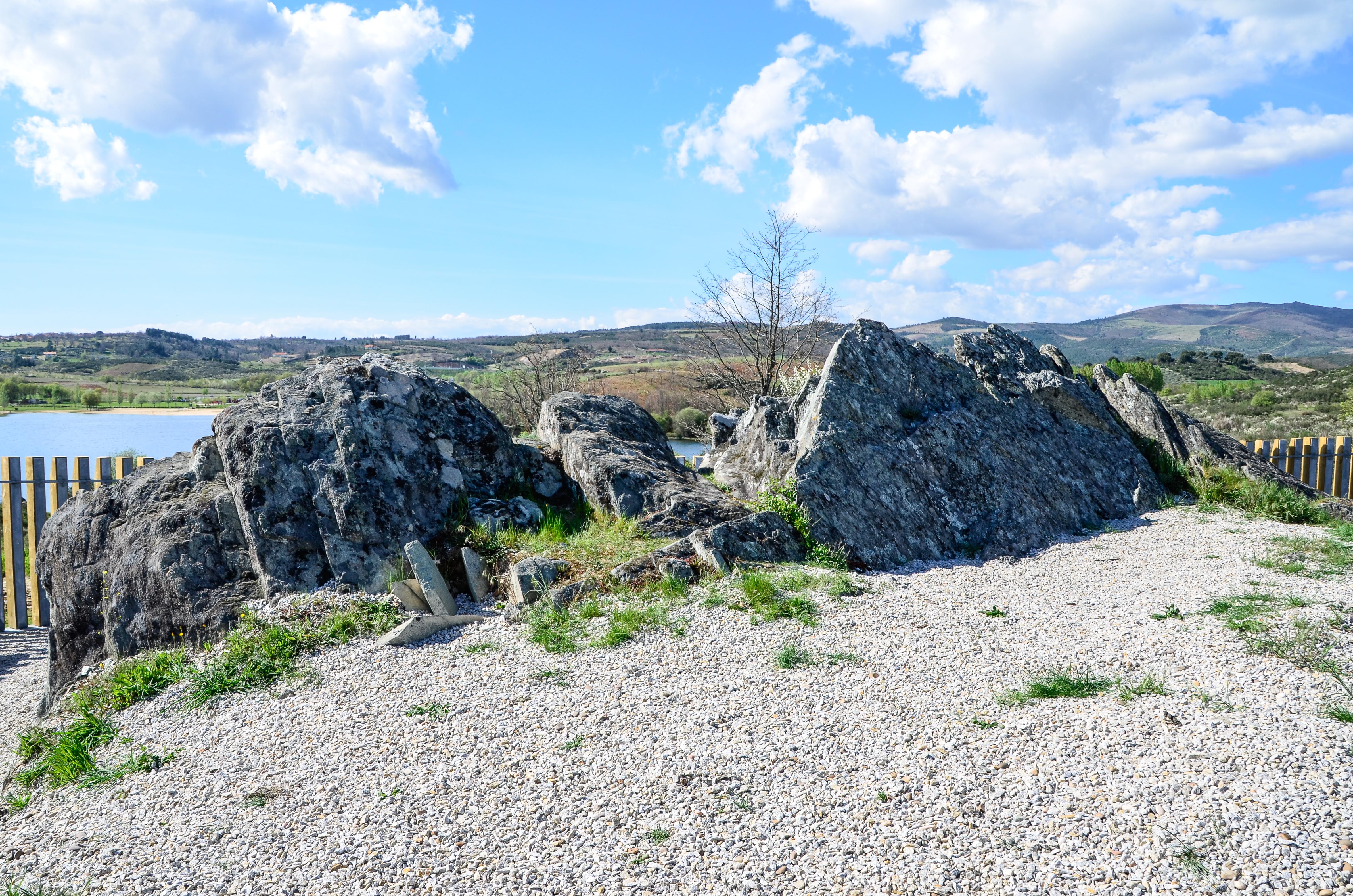
Geosite Fraga da Pegada Metavolcanic Rock, Santa Combinha