


The miner''s bridge it’s located over the "Sabor" river, served as a passageway for the miners who needed to cross the river to work in the mines of "Ribeira" in "Coelhoso". It’s a Cable Suspension Bridge, has about 35 meters and is suppo ...
Home /
Terras de Cavaleiros UNESCO Global Geopark /
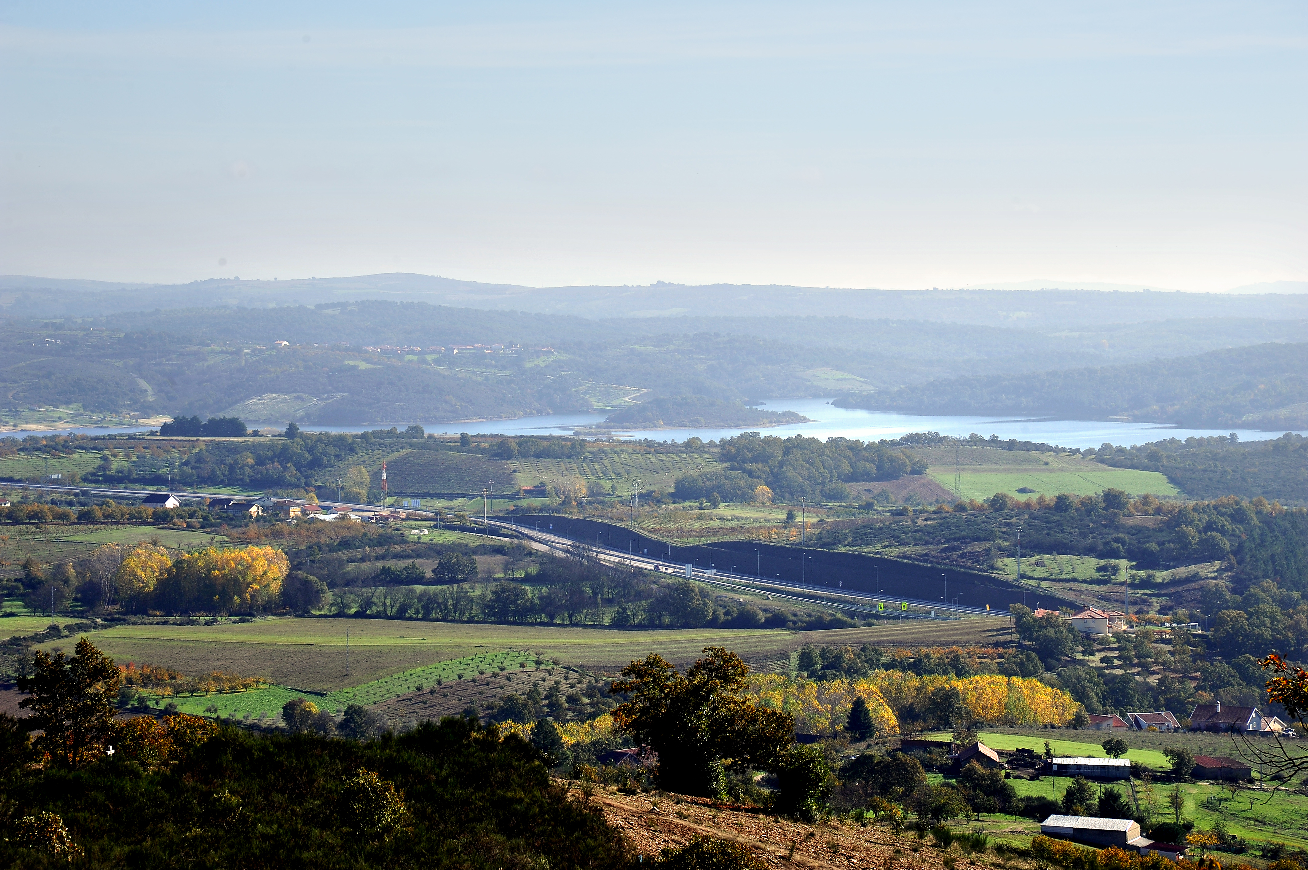
Geosite Sra. Do Campo Panorama, Lamas