Home /
Naturtejo UNESCO Global Geopark /
Granite Landforms of Gardunha, Louriçal do Campo (ponto de partida)
Granite Landforms of Gardunha, Louriçal do Campo (ponto de partida)
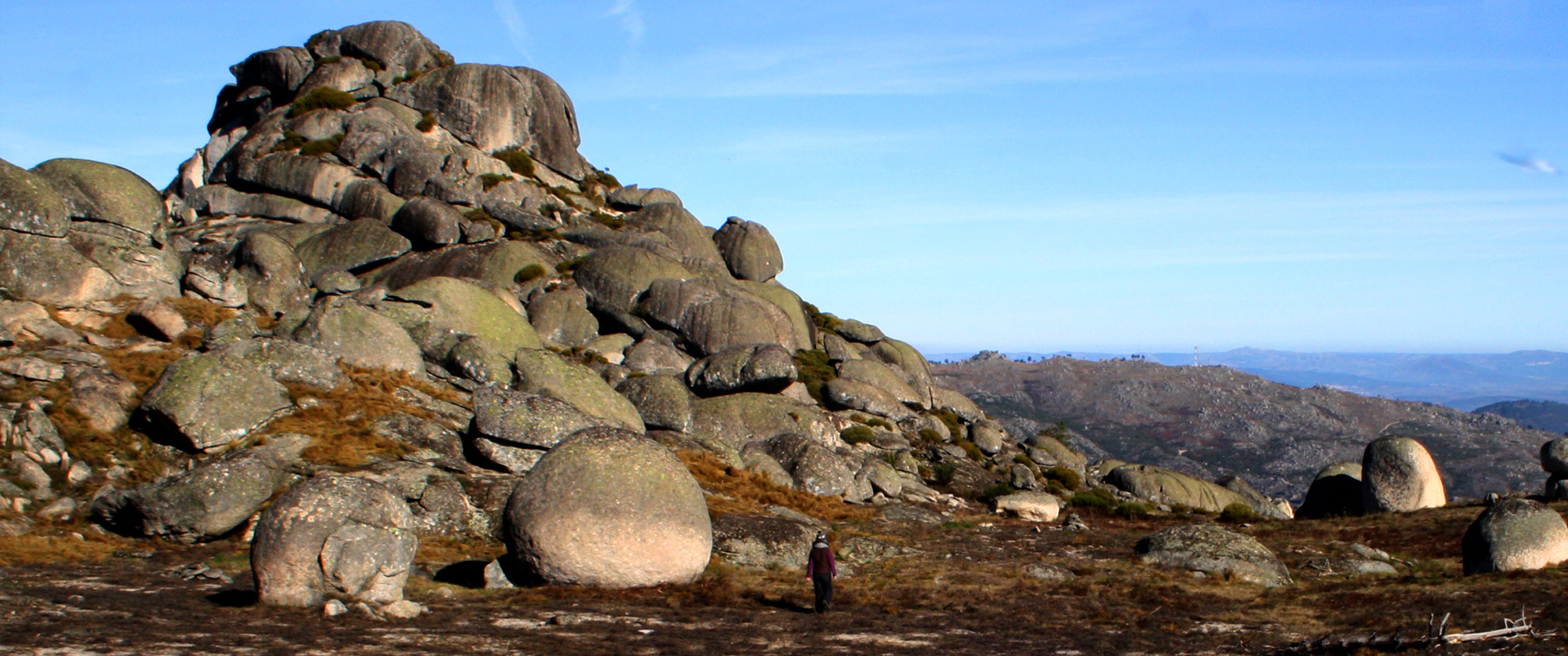
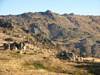
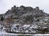
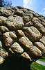
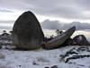
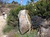
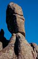
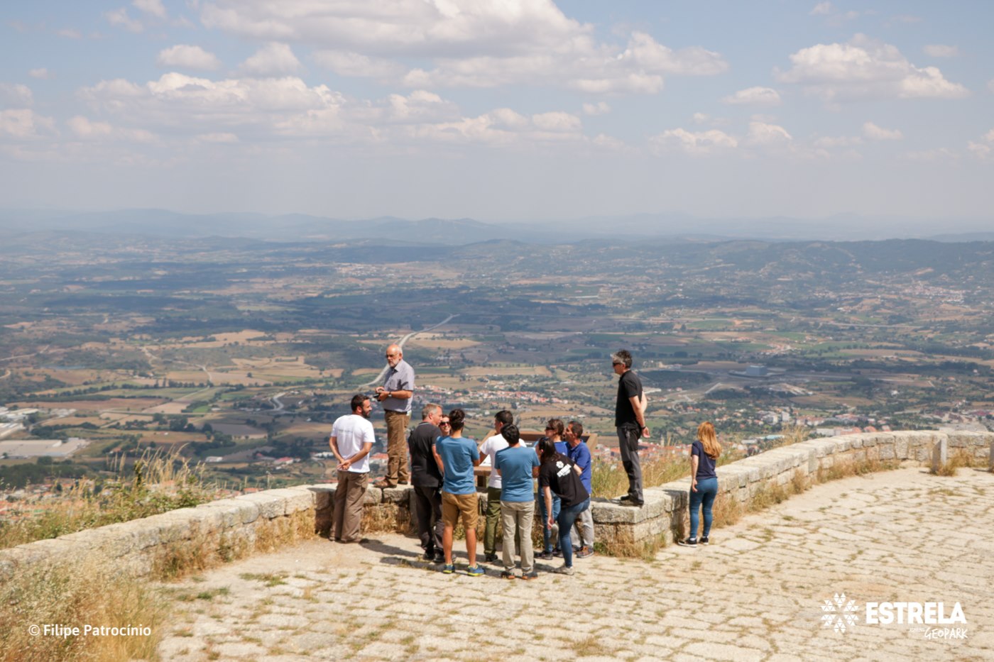
A colossal granite giant rises abruptly over the vast plain of Castelo Branco, reaching 1227 m high. Surrounded by a pine forest ring up to 800 m, its bare peaks resemble ruined castle. These accumulations of granite morphologies are frequent, shaped by the circulation of groundwater through fractures, resulting in rocks of different sizes and shapes, displaced by gravity or simply exposed due to erosion.
CHARACTERISTICS
LOCATION
Address: -
City: Louriçal do Campo (ponto de partida)
Postal Code: 0 - 000
Telephone: 272320176
Email: geral@naturtejo.com
Website: http://www.naturtejo.com
City: Louriçal do Campo (ponto de partida)
Postal Code: 0 - 000
Telephone: 272320176
Email: geral@naturtejo.com
Website: http://www.naturtejo.com
FUNCTIONING
Public venue, with no timetable or entrance fee.
ORGANISATION OF THE VISIT
The visit to this Point does not require prior booking and cannot be done individually.
Specific Conditions:
Guided tours by specialised technicians from the Geopark Naturtejo are paid for in accordance with the number of participants.
Method:
On foot
Difficulty Level:
High
Group Visits:
Yes
Minimum Number of Person per group:
2
Maximum Number of Person per group:
0
Observations:
Through advance scheduled reservations.
Guided Tours:
Yes
Observations:
Through advance scheduled reservations.
EXISTING EQUIPMENT
Geological curiosity
GEOLOGICAL / MINING INTEREST
History Patrimony:
-
Activity Program:
-
Study and Research Unit:
"Património geomorfológico da vertente meridional da Serra da Gardunha (Castelo Branco): potencialidades e ameaças"
Audiovisual and Multimedia Resources:
-
Volunteering Programs:
-
-
Activity Program:
-
Study and Research Unit:
"Património geomorfológico da vertente meridional da Serra da Gardunha (Castelo Branco): potencialidades e ameaças"
Audiovisual and Multimedia Resources:
-
Volunteering Programs:
-
EDUCATIONAL SERVICE
Activity Description:
Educational programs in the Geopark Naturtejo are available in www.naturtejo.com. The program "Finding curious granite shapes in Castelo Velho, Serra da Gardunha", the start point is Casal da Serra, following the Gardunha Route up to Castelo Velho, to find curious granite shapes moulded by the water. Returning to the village are countless fresh water springs. That's why the bottled water from this region is very well known.
Target Audience:
Teachers and students from all levels of education
Activity Cost:
3.5€
Weekly Schedule:
From 00:00:00 to 00:00:00.
From 00:00:00 to 00:00:00.
Weekend and Holidays Schedule:
From 00:00:00 to 00:00:00.
From 00:00:00 to 00:00:00.
Exceptions:
Educational programs in the Geopark Naturtejo booked in advance in: programas_educativos@naturtejo.com. Minimum fee 3,5 €. The price varies with the optional choice of sports activities in nature.
Observations:
The approach to teaching content, adapted to various levels of education, is performed by Geopark Naturtejo’s monitors that present the scientific-pedagogical education qualification in the field of Geosciences.
EXTERNAL SUPPORT
Where to Stay
http://www.turismodocentro.pt/guiaalojamento.pdf
Where to Eat
http://mic.phinformatica.pt/novo_mic/layout_cb/default.asp?LANG=PT&layout=
Security Forces
http://www.portaldasaude.pt/portal/servicos/prestadoresV2/?providerid=173
Cultural Facilities
http://www.cm-castelobranco.pt/cine_teatro.asp?lang=p&skin=1
TRANSPORT
Type of Transport:
T. Rodoviário
Agency Name:
Rodoviária da Beira Interior
Telephone Number:
272340120
Parking for private vehicles:
Yes
T. Rodoviário
Agency Name:
Rodoviária da Beira Interior
Telephone Number:
272340120
Parking for private vehicles:
Yes
SITES OF TOURISTIC INTEREST
ASSOCIATED ROUTES
Geoparks in Portugal
Geoparks in Portugal UNESCO World Geoparks are territories with locations and landscapes of international geological importance, which combine the protection and promotion of its heritage with sustainable development. They are unique places where the oldest memories are millions of years old and include key locations that testify to the evolution of our planet. These territories are classified by UNESCO under the International Geosciences and Geoparks Program. Spread across all continents, geoparks are much more than areas of heritage relevance. They are dynamic territories of which local communities are part, where nature, history and culture are intertwined. There are currently 5 UNESCO World Geoparks in Portugal: Naturtejo (2006), Arouca (2009), Azores (2012), Terras de Cavaleiros (2014) and Estrela (2020). The Geopark on the coast of Viana do Castelo is preparing the future application, but its level of implementation in the territory, namely the educational offer it already develops, led to its inclusion in the GUIDE OF THE PORTUGUESE GEOLOGICAL AND MINES SITES, naturally without the status that UNESCO gives to the remaining territories. On the other hand, new applications are being developed, with several projects in the Oeste, Algarve and Figueira da Foz, which in due time may have their presence on this platform. To visit Portuguese geoparks is to embark on a journey that began 600 million years ago, when Portugal occupied a very different place on the globe, going through incredible episodes of formation and destruction of mountains and seas, of the appearance and extinction of species, of the occurrence of deep climate change, major volcanic eruptions ... until today in the relationship between man and the planet On this GUIDE the visitor will find a proposed itinerary to visit the most significant points in each national geopark, including, of course, the one located in the Autonomous Region of the Azores. Take a "good trip" on the GUIDE OF THE PORTUGUESE GEOLOGICAL AND MINES SITES and discover the interesting places we introduce you throughout the country.
Geoparks in Portugal UNESCO World Geoparks are territories with locations and landscapes of international geological importance, which combine the protection and promotion of its heritage with sustainable development. They are unique places where the oldest memories are millions of years old and include key locations that testify to the evolution of our planet. These territories are classified by UNESCO under the International Geosciences and Geoparks Program. Spread across all continents, geoparks are much more than areas of heritage relevance. They are dynamic territories of which local communities are part, where nature, history and culture are intertwined. There are currently 5 UNESCO World Geoparks in Portugal: Naturtejo (2006), Arouca (2009), Azores (2012), Terras de Cavaleiros (2014) and Estrela (2020). The Geopark on the coast of Viana do Castelo is preparing the future application, but its level of implementation in the territory, namely the educational offer it already develops, led to its inclusion in the GUIDE OF THE PORTUGUESE GEOLOGICAL AND MINES SITES, naturally without the status that UNESCO gives to the remaining territories. On the other hand, new applications are being developed, with several projects in the Oeste, Algarve and Figueira da Foz, which in due time may have their presence on this platform. To visit Portuguese geoparks is to embark on a journey that began 600 million years ago, when Portugal occupied a very different place on the globe, going through incredible episodes of formation and destruction of mountains and seas, of the appearance and extinction of species, of the occurrence of deep climate change, major volcanic eruptions ... until today in the relationship between man and the planet On this GUIDE the visitor will find a proposed itinerary to visit the most significant points in each national geopark, including, of course, the one located in the Autonomous Region of the Azores. Take a "good trip" on the GUIDE OF THE PORTUGUESE GEOLOGICAL AND MINES SITES and discover the interesting places we introduce you throughout the country.
SUGGESTIONS OF THE ROUTE- OTHER NEARBY PLACES TO VISIT
Museu do Canteiro
This exhibition shows the several stages of stonework. It shows the oldest and most traditional tools used by stone workers throughout several operations, ando also its innovations, leading to its replacement with machinery. The pictures sh ...
Panasqueira Mines Crystal Shop
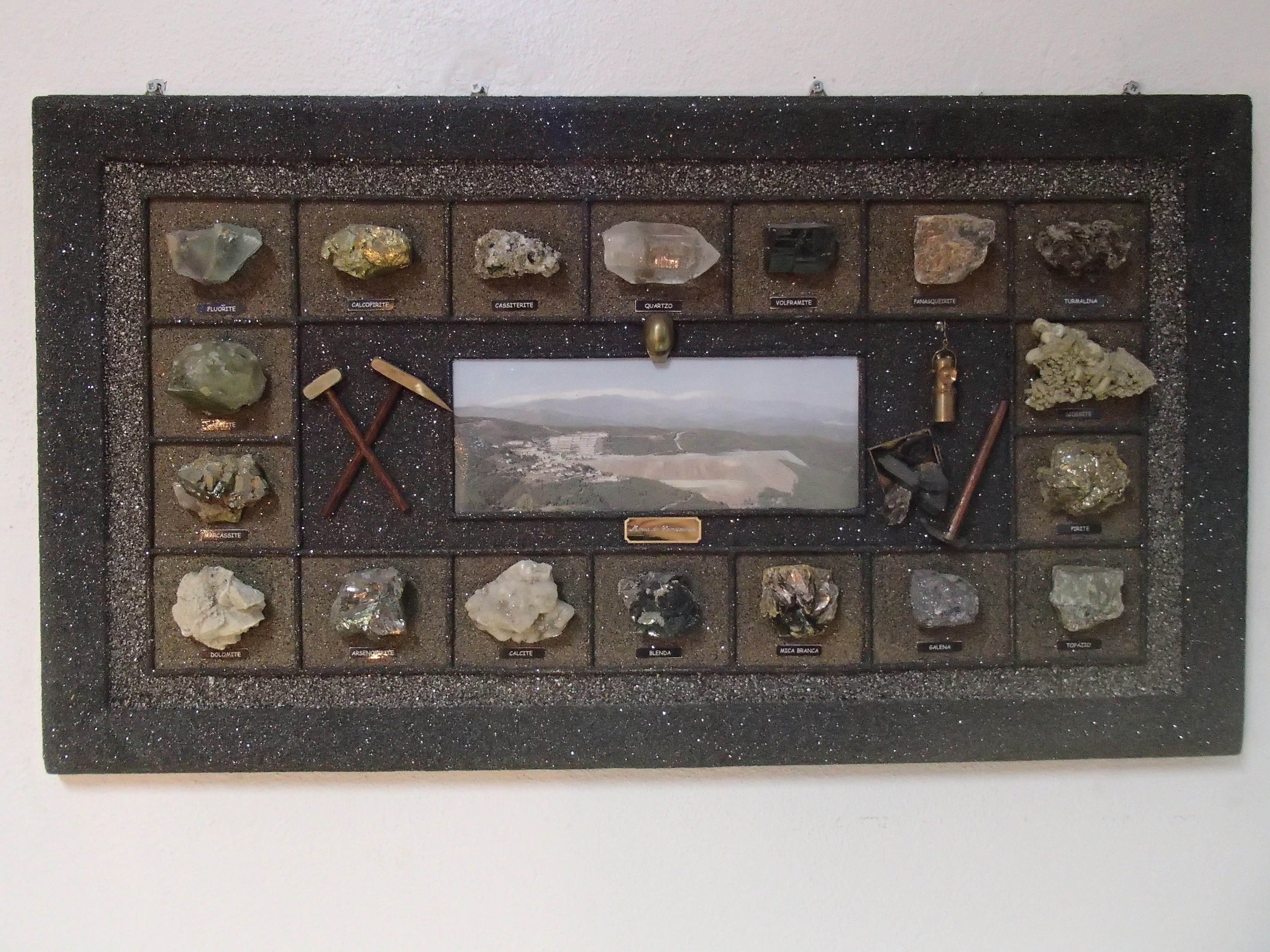
Shop which offers exclusive selection of minerals and products from the Panasqueira Mines.
Varanda dos Carqueijais panorama (Geosite)
From here you can enjoy a magnificent panoramic view over Cova da Beira and further away, to the Castelo Branco Surface. These were the surfaces that, about 10 million years ago, gave origin to Serra da Estrela, which raised between tectoni ...