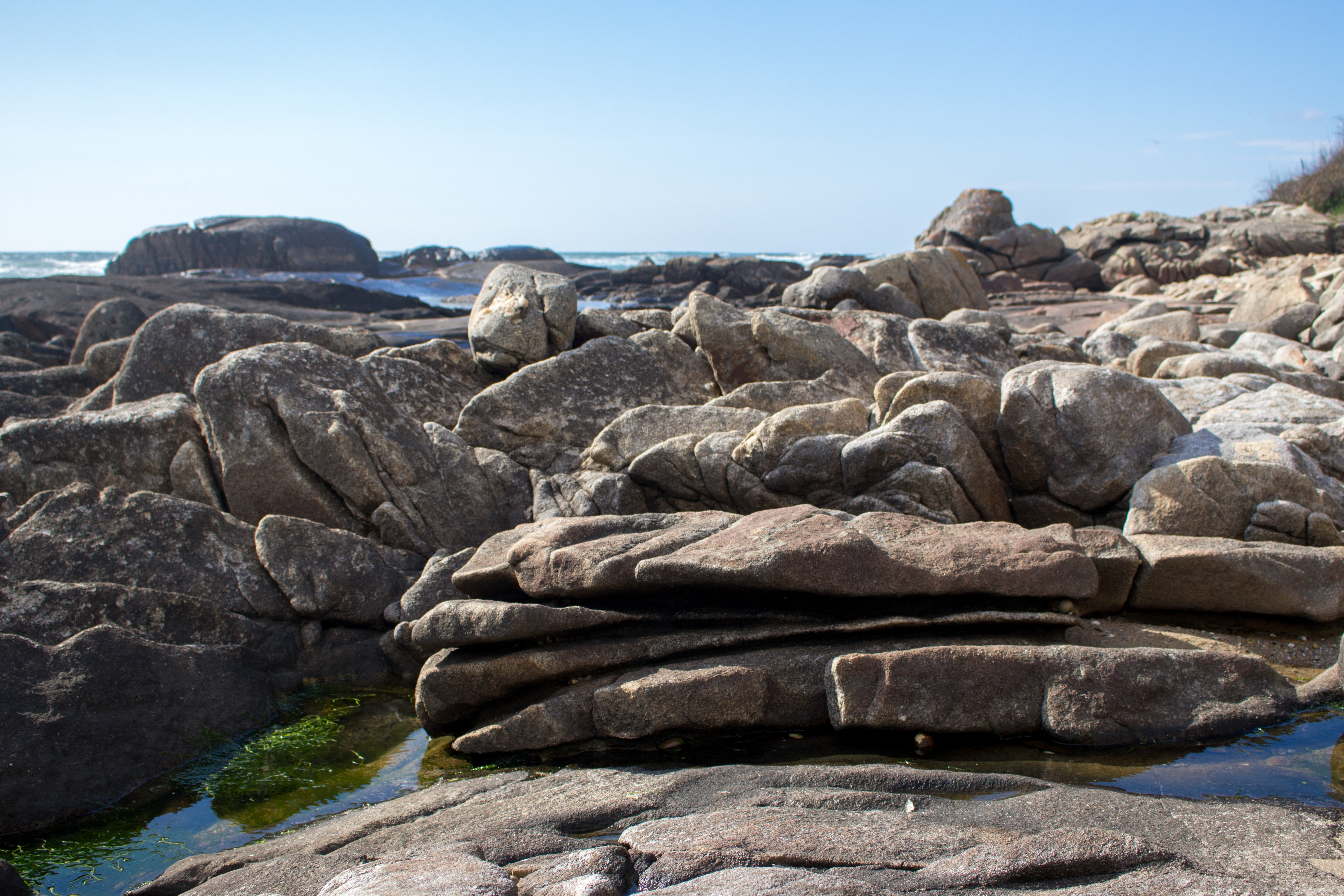
Granite Pavements of Gatenha Natural Monument, Viana do Castelo
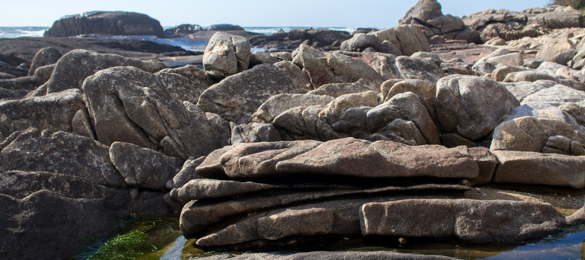
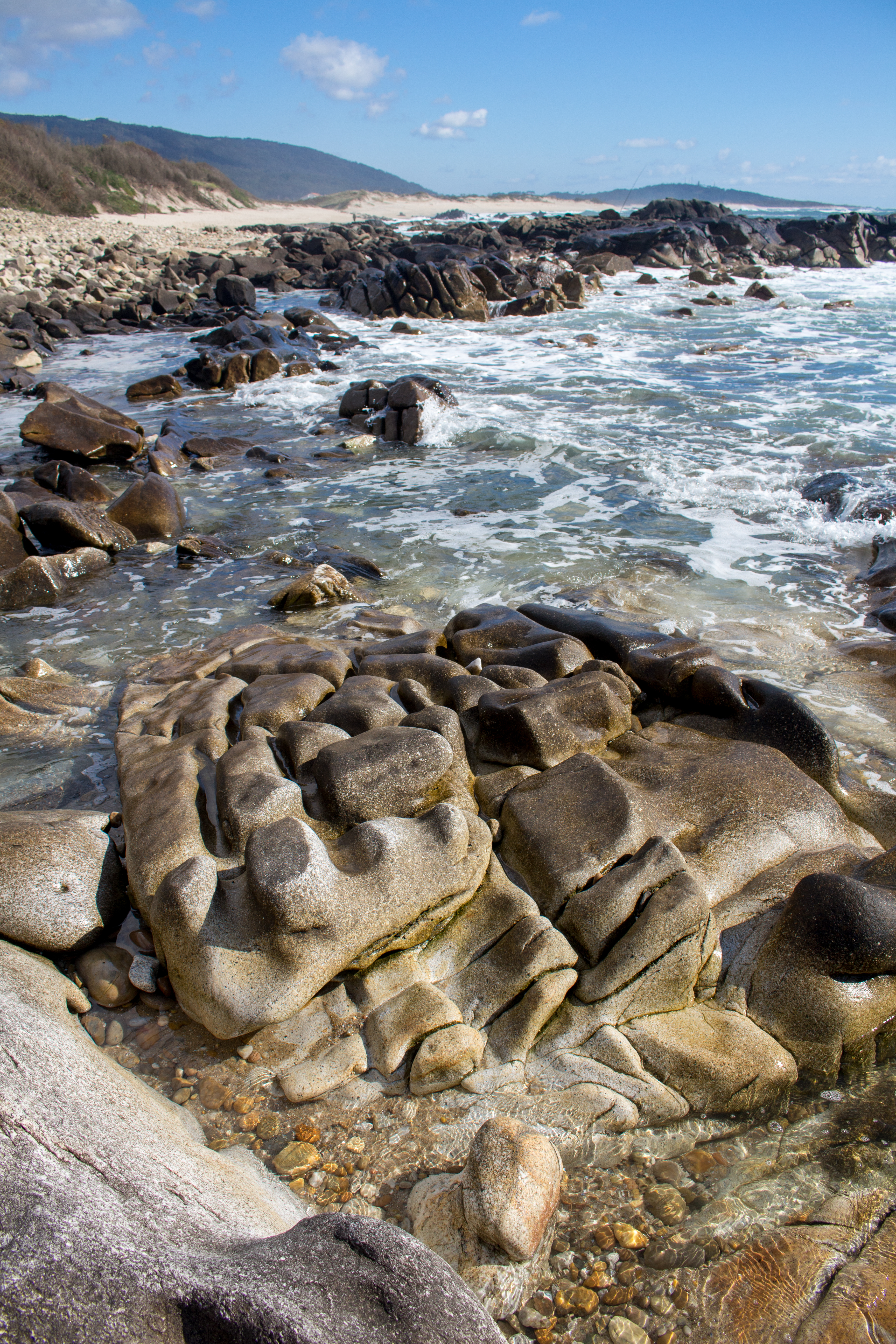
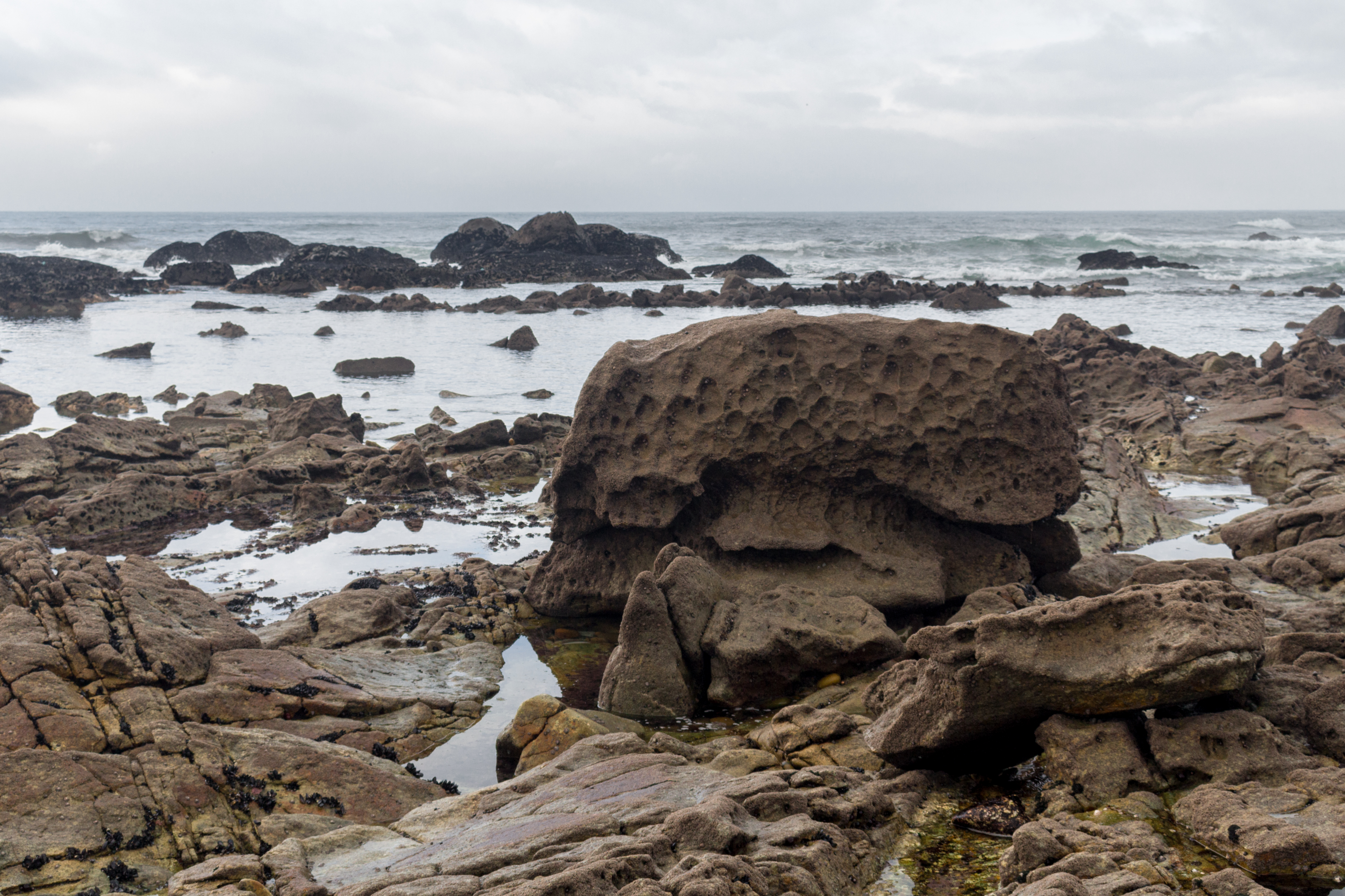
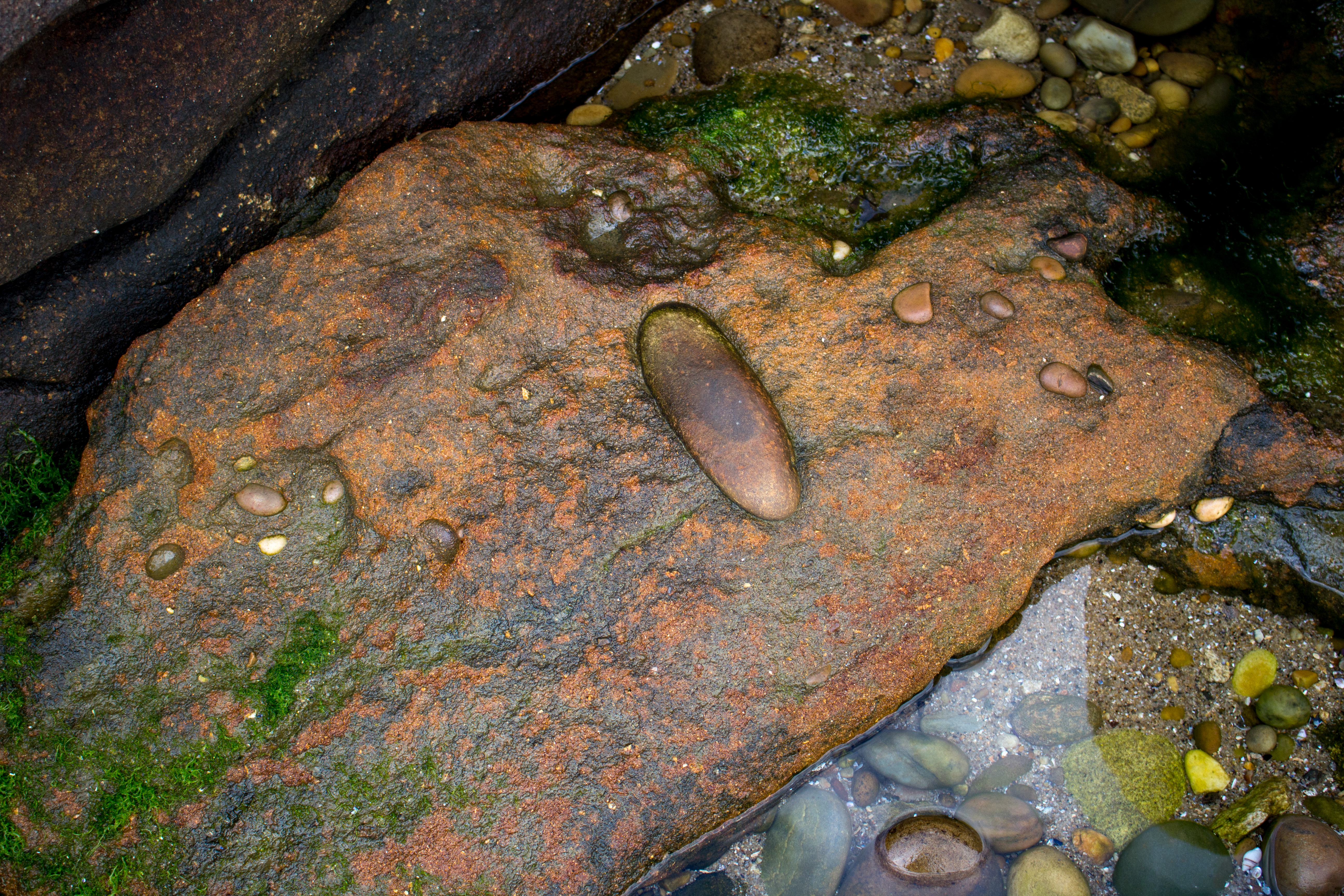
The Local Natural Monument has an approximate area of 27 ha, facing north with the Forte do Cão (Caminha) geosite (Carvalhido, 2012, 2014a, 2014b, 2014d; to be classified). The area corresponds to a coastal stretch of approximately 500 m, developed between the infralittoral zone and the fertile plains that limit the beaches of Afife, to the east. The geosite is essential in understanding the mechanisms of evolution of granitic pavements that often originate granitic landscapes of round granite boulders. The Natural Monument has residual geomorphological interest, preserving the various stages of evolution of the granitic platforms and geomorphic processes, namely those associated with the prefiguration of the round boulders until their complete exhumation. In the geosite there are also outcrops of mineralogical and petrological interest, namely pegmatitic intrusions related to granites of the Santa Luzia massif, with peculiar structures. The most representative ones conserve comb structures of potassium feldspar and Hiddenite, according to Lima (2006) a pyroxene with a rare chromatization (green), considering a variety with gemological potential. The litiniferous pegmatites where these spodumenes occur, are accompanied by characteristic mineralogical processions, namely with associations of quartz, albite, lepidolite, beryl and tourmaline. Finally, it is important to note that this geosite is the only strip on the coast of the municipality of Viana do Castelo, north of the mouth of the Lima River, where the lithostratigraphic unit of Conglomerados e Areias do Forte do Cão (Eemiana beach, MIS5e) is conserved (Carvalhido, 2012, 2014a, 2014b, 2014c, 2014d). The area preserves important anthropic pavements of the pre-Roman age.
CHARACTERISTICS
City: Viana do Castelo
Postal Code: 4904 - 877
Telephone: 258821091
Email: geral@geoparquelitoralviana.pt
Website: https://geoparquelitoralviana.pt/
Specific Conditions:
-
Method:
A pé
Difficulty Level:
Baixa
Group Visits:
Yes
Minimum Number of Person per group:
10
Maximum Number of Person per group:
30
Observations:
From 9h00 to 13h00 | From 14h00 to 17h00 By prior appointment.
Guided Tours:
Yes
Observations:
From 9h00 to 13h00 | From 14h00 to 17h00 By prior appointment.
-
Activity Program:
-
Study and Research Unit:
-
Audiovisual and Multimedia Resources:
-
Volunteering Programs:
-
Activities available at the educational service of Geoparque Litoral de Viana do Castelo, to be consulted at https://redeescolardeciencia.pt/, which consist in field trips to the Local Natural Monument to study the local geoforms and geological landscapes.
Target Audience:
Students from 1º Cycle (KS1) to Secundary Education (KS5)
Activity Cost:
0€
Weekly Schedule:
monday, tuesday, wednesday, thursday, friday
From 09:00:00 to 13:00:00.
From 14:00:00 to 17:00:00.
Weekend and Holidays Schedule:
From 00:00:00 to 00:00:00.
From 00:00:00 to 00:00:00.
Exceptions:
For after-hours visits, please contact us at reservas@geoparquelitoralvianadocastelo.pt.
Observations:
The Educational Service''s activities appointment has to be done through the website of the School Network of Science and Scientific Research Support, at https://redeescolardeciencia.pt/.
http://www.cm-viana-castelo.pt/pt/agenda-cultural
Security Forces
http://http://www.cm-viana-castelo.pt/pt/contatos-uteis
Where to Eat
https://www.geoparquelitoralviana.pt/en/discover/
Where to Stay
https://www.geoparquelitoralviana.pt/en/discover/
T. Rodoviário
Agency Name:
AVIC
Telephone Number:
258806180
Type of Transport:
Táxi
Agency Name:
Central de Táxis Coelho, Coelho & Filhos, Lda
Telephone Number:
258776092
Type of Transport:
Táxi
Agency Name:
Táxi Vianense ,Lda.
Telephone Number:
258826641
Type of Transport:
Táxi
Agency Name:
Táxis Filipe, Lda.
Telephone Number:
258323946
Type of Transport:
Táxi
Agency Name:
Táxis de Viana, Lda.
Telephone Number:
258829167
Type of Transport:
Táxi
Agency Name:
Táxis Lutador Unipessoal,Lda.
Telephone Number:
258111222
Parking for private vehicles:
Yes
Montedor Lighthouse is located on a promontory in Montedor, about 4 nautical miles north of the Lima river mouth and 7 miles south of the Minho river mouth, in the parish of Carreço, ton and district of Viana do Castle in Portugal. It is the northernmost lighthouse in the country and ent into operation on March 20, 1910. It on a square toer in granite stone ith a height of 28 meters and 103 meters altitude above sea level. In addition to its museological interest, the Farol de Montedor provides an incredible vie of the surrounding area, here you can see the entire coastline zone from Areosa to Vila Praia de Âncora, as ell the surrounding lolands.
gps: 41.751657 -8.873417
distance: 1km
Citânia de Santa Luzia (Santa Luzia fortified village)
The Citânia de Santa Luzia, locally knon as the "old ton", is one of the best knon castres of northern Portugal and undoubtedly one of the most important for the study of Protohistory and Romanization of the Alto Minho. Its strategic location not only alloed it to dominate vast areas of the riverside area, but also to control the movement of entrances and exits in Foz do Lima hich, in antiquity, ould be navigable for much of its course.
gps: 41.705642 -8.833617
distance: 7km
Gil Eannes Hospital Ship
The Gil Eannes Hospital Ship as built in Viana do Castelo in 1955 and supported, for decades, the Portuguese codfish fleet that operated in the banks of Nefoundland and Greenland. hen the codfish fleet as desactivates, it rotted in the docks of Lisbon for many years. On January 31, 1998, it as festively received in Foz do Lima, here, after being cleaned and restored, it as opened to the public on August 19, 1998, assuming itself as a pole of attraction for Viana do Castelo.
gps: 41.690119 -8.830309
distance: 0km
House of Niches - Archaeological Museum
The House of the Niches is a 15th century building recently restored to receive an exhibition area here you can see part of the county''s archaeological estate, highlighting the Prehistory, Iron Age and Romanization period. ith a strong pedagogical vocation, the visitor has available multimedia means to access information about cultural heritage such as the city of Santa Luzia, Santa Maria de Geraz de Limas’s medieval graves of or Carreço’s rock engravings.
gps: 41.691771 -8.828048
distance: 0km


