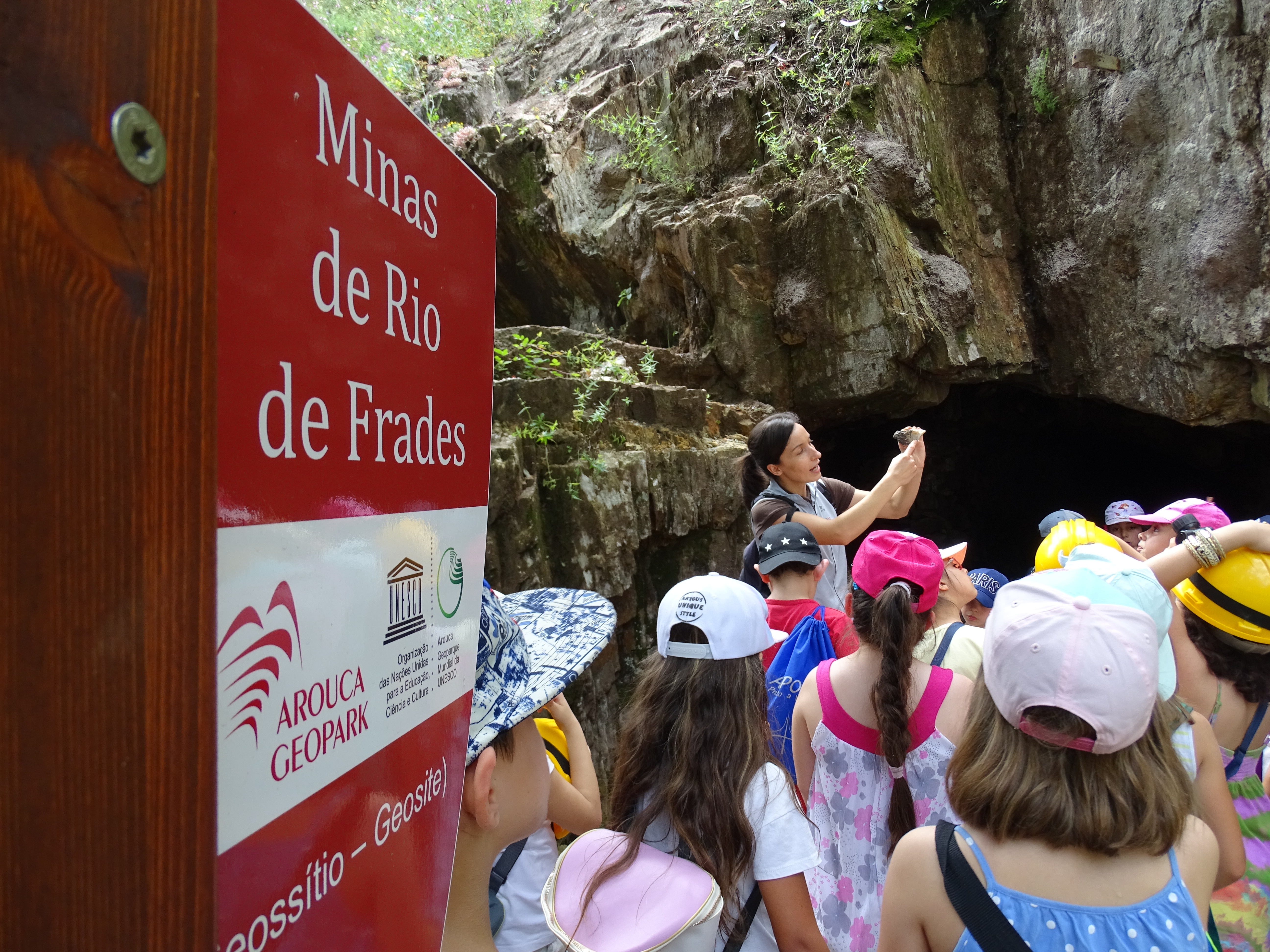
Minas de estanho e volfrâmio de Rio de Frades (Geossítio), Arouca
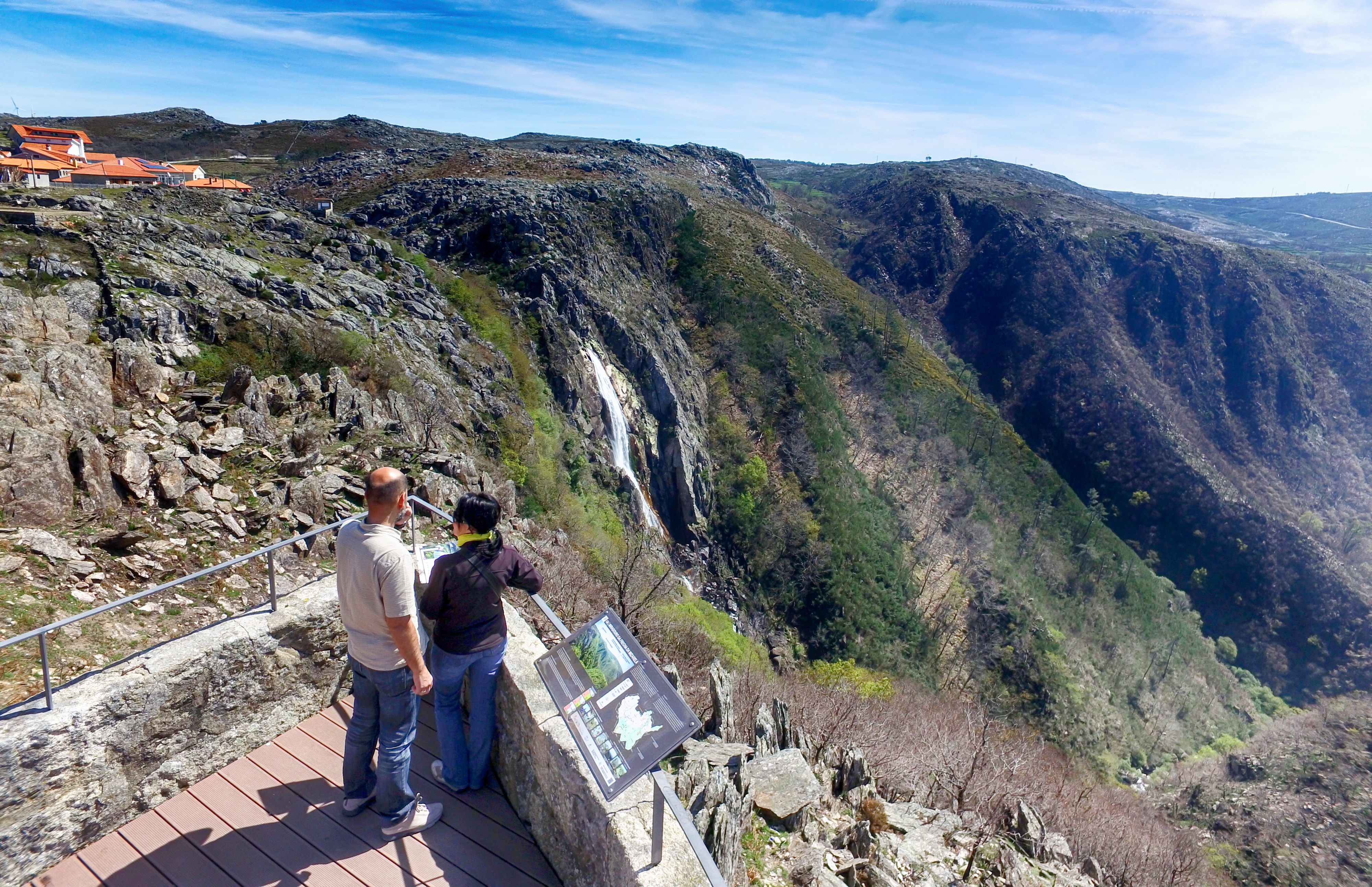
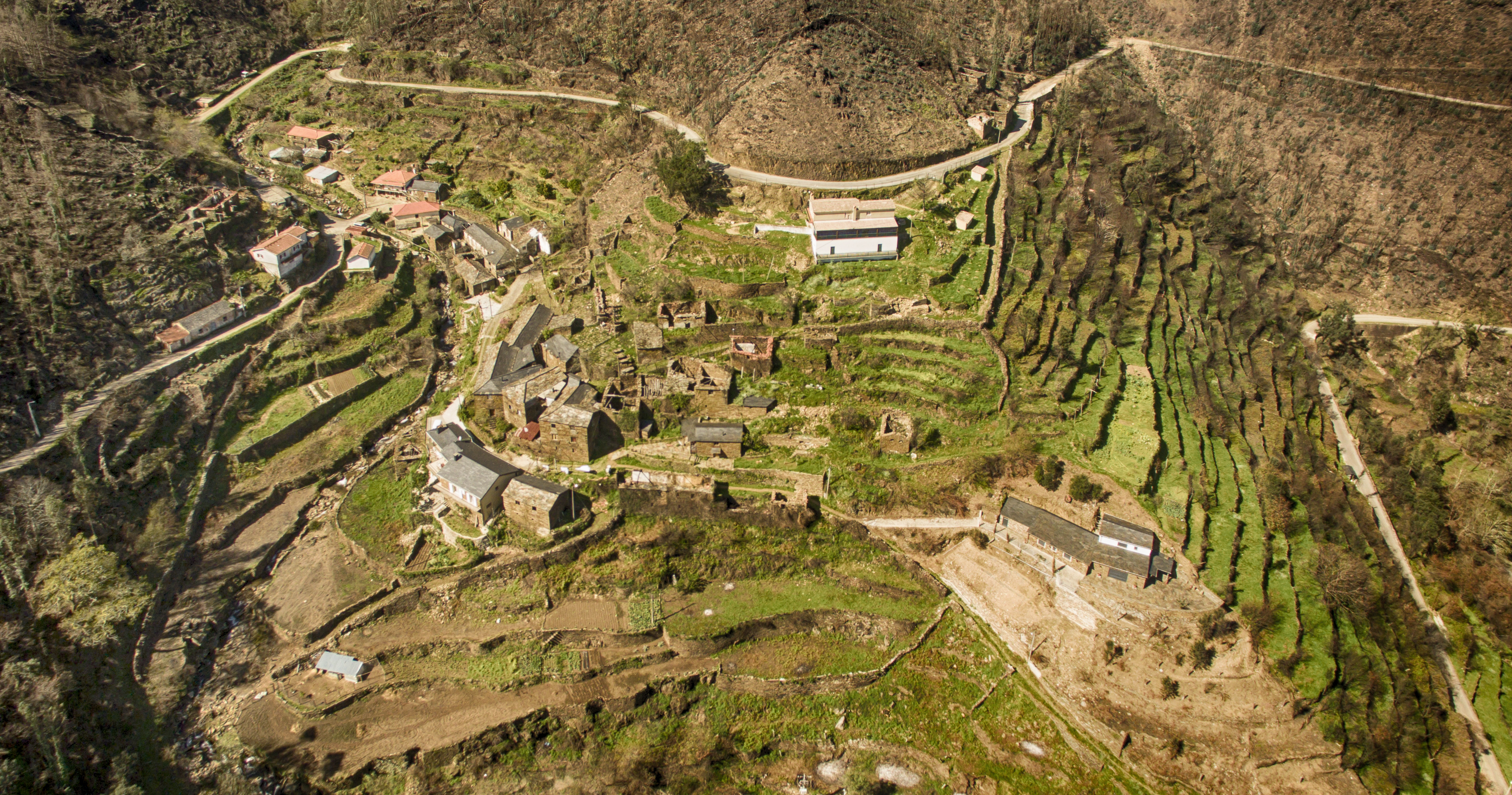
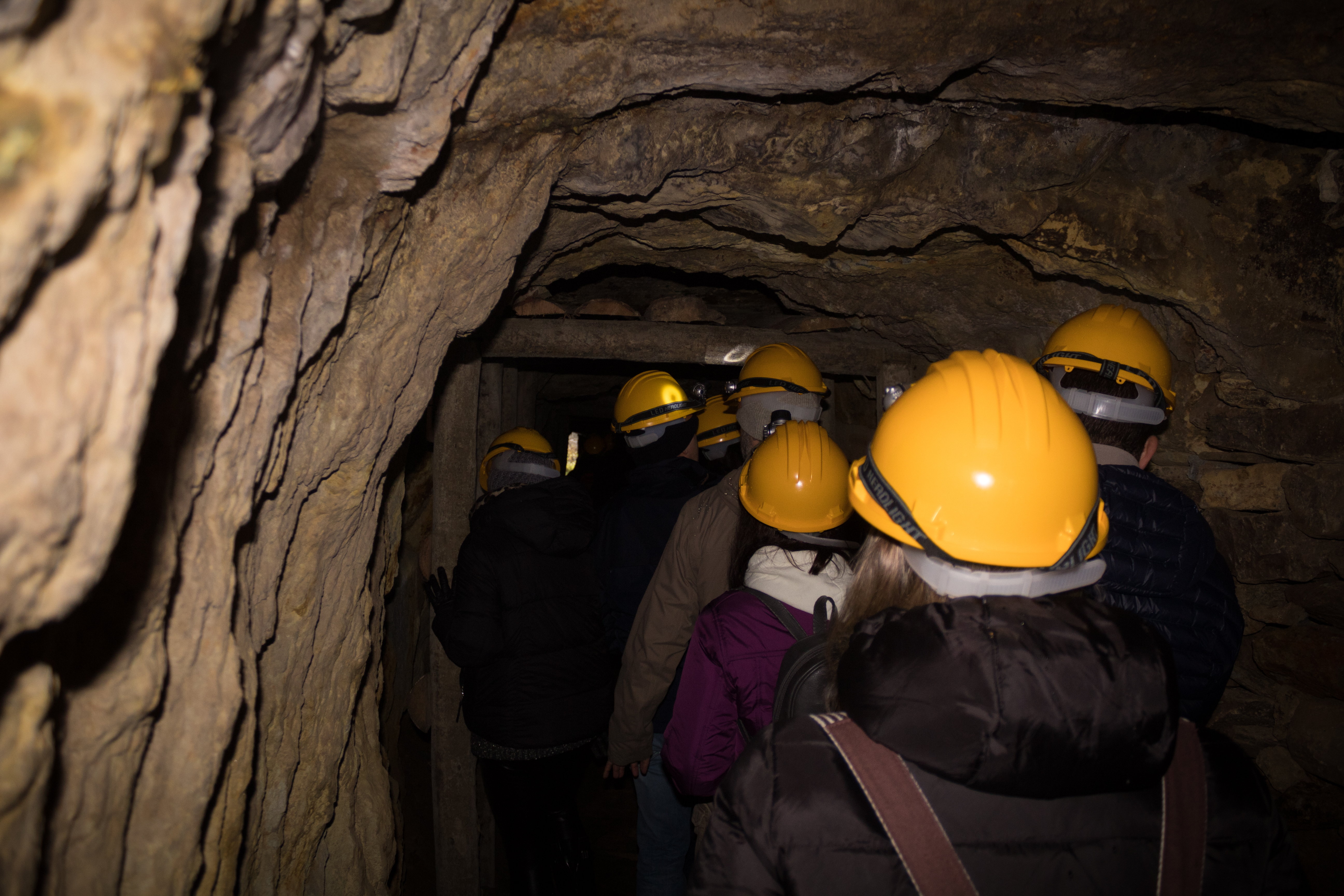
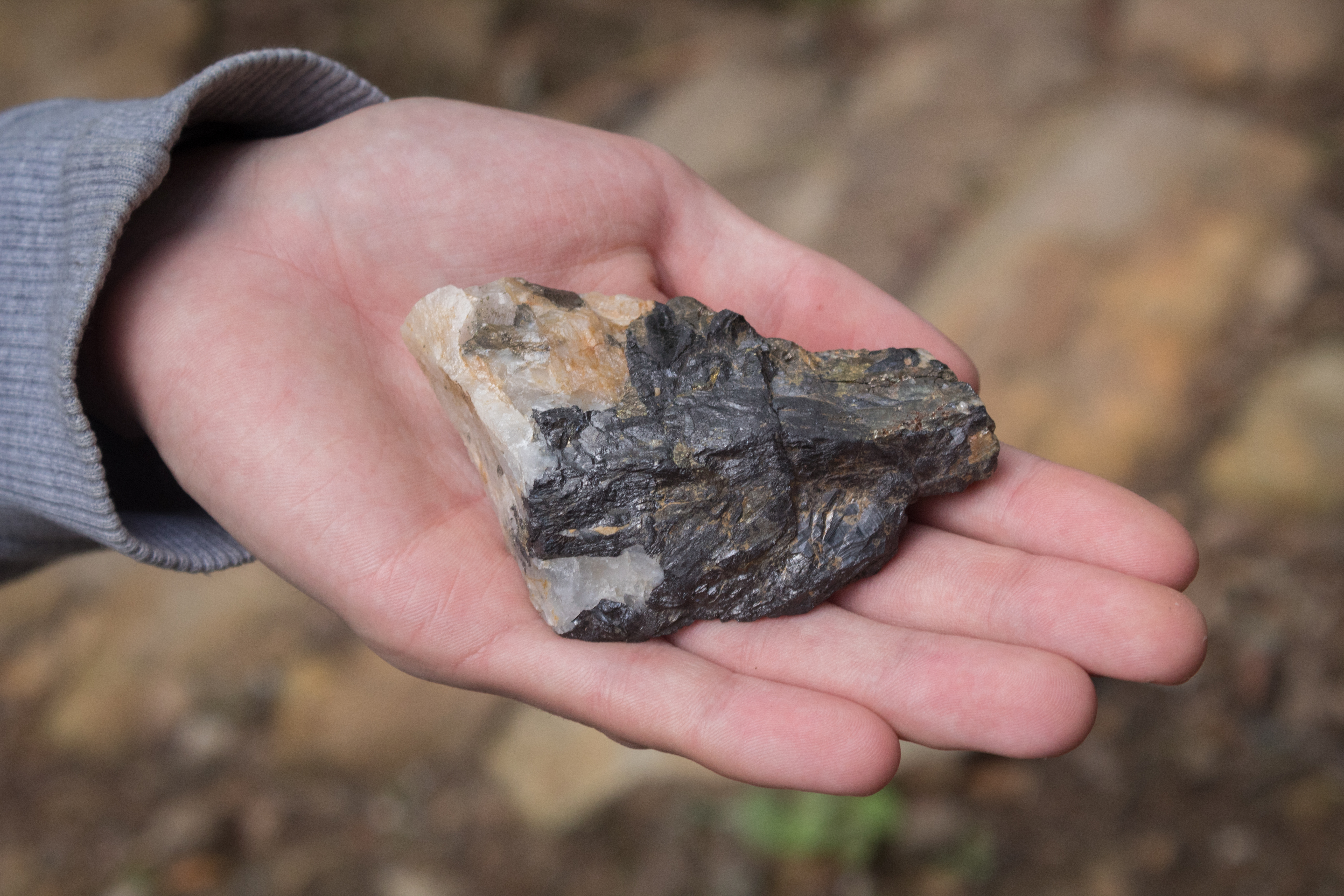
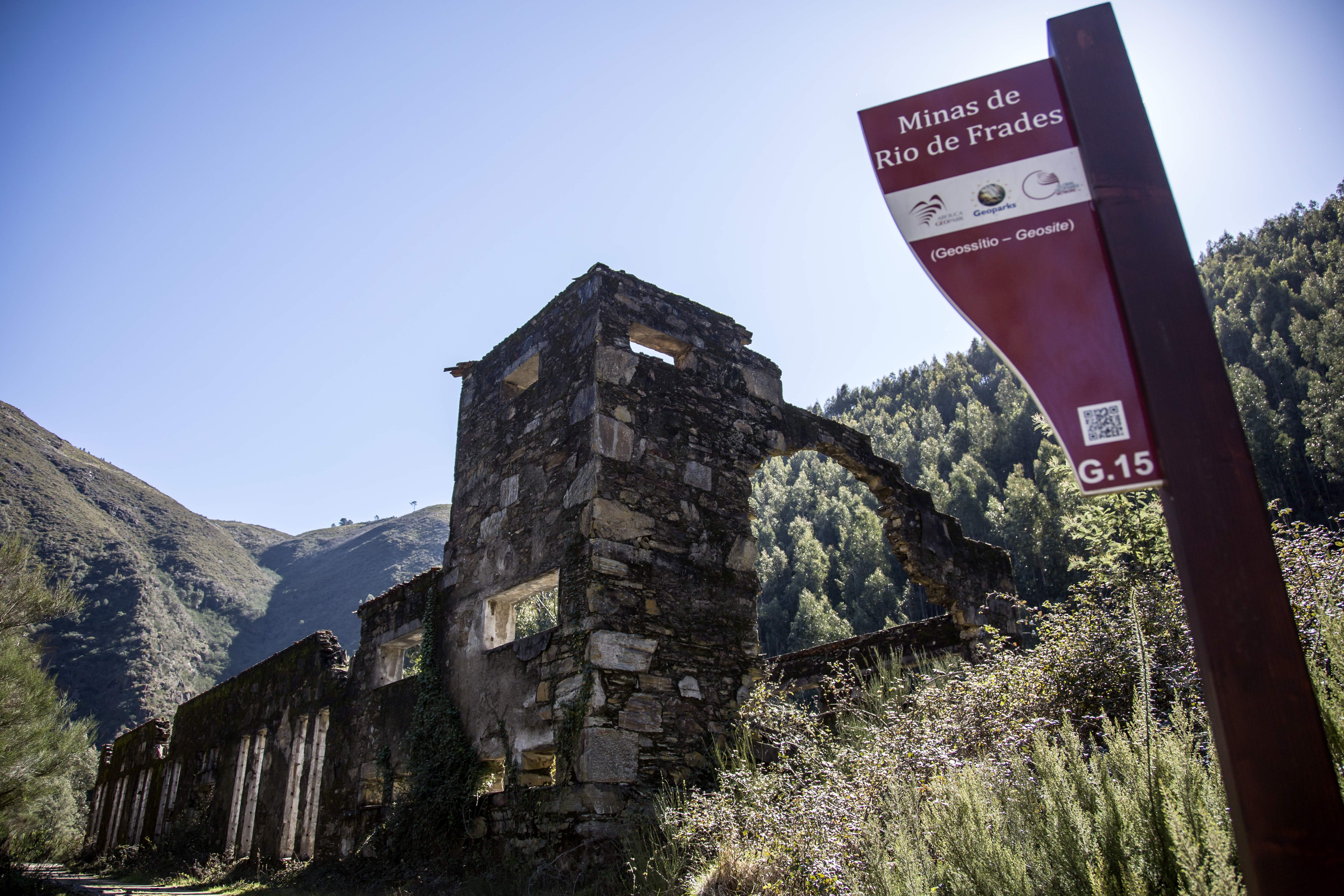
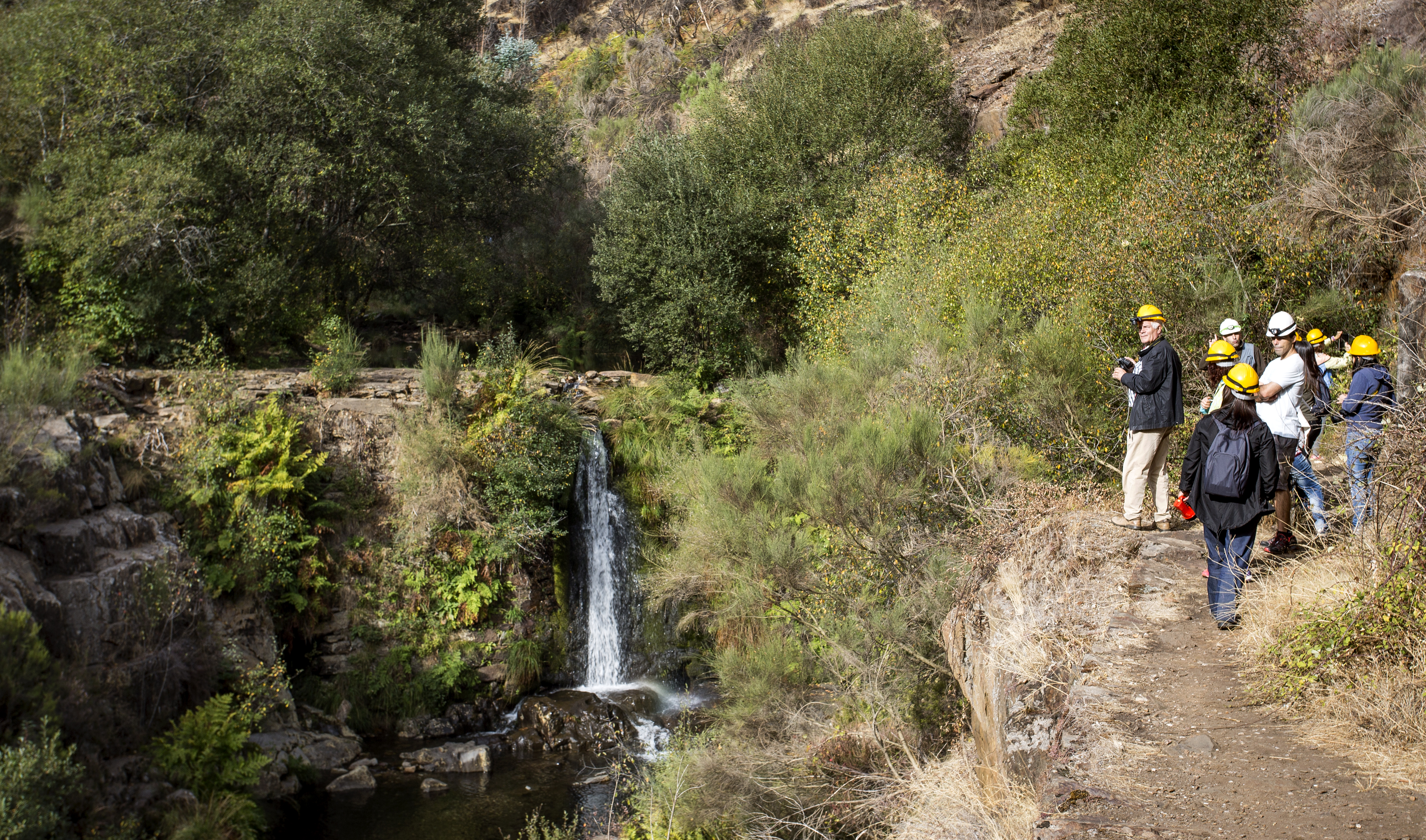
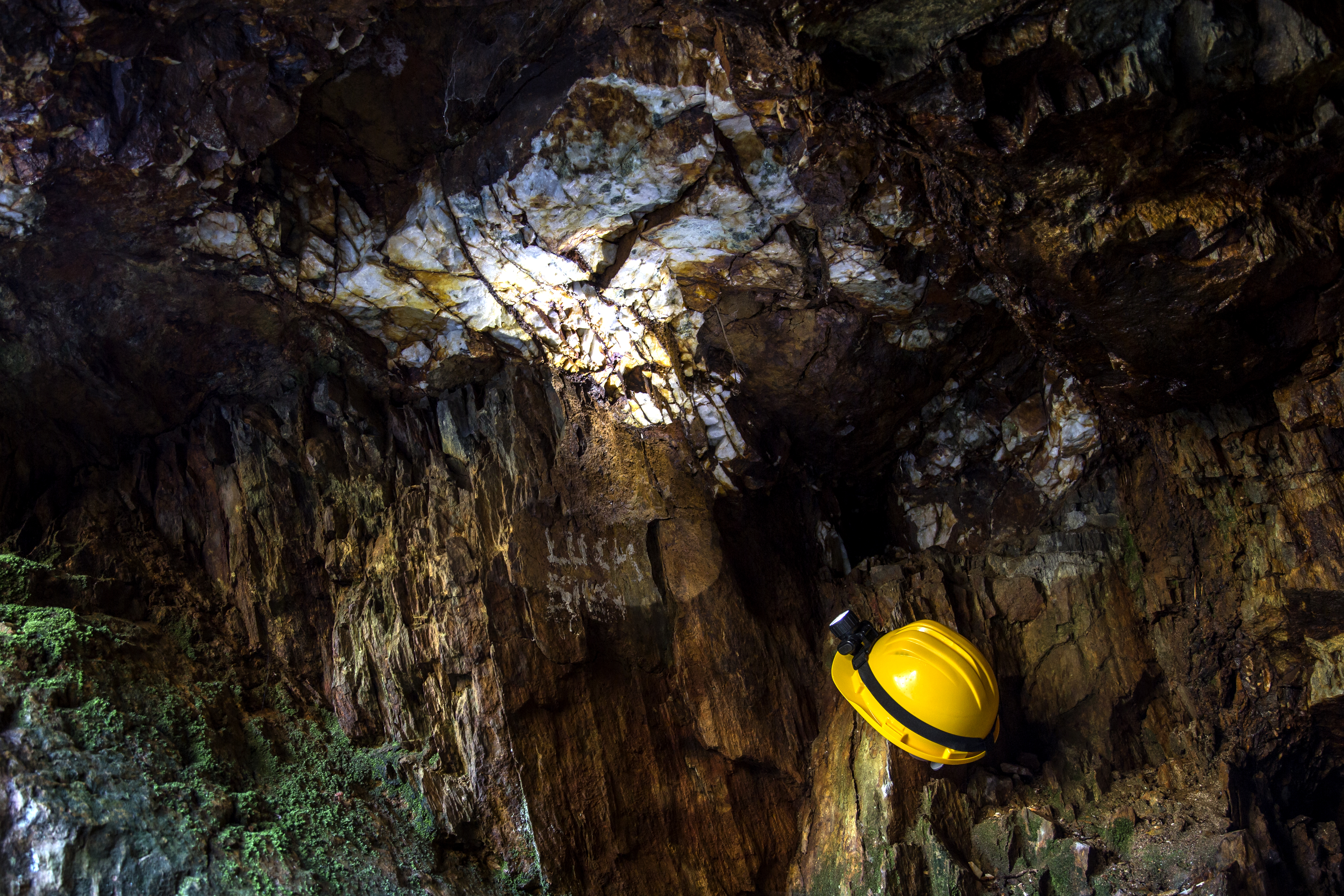
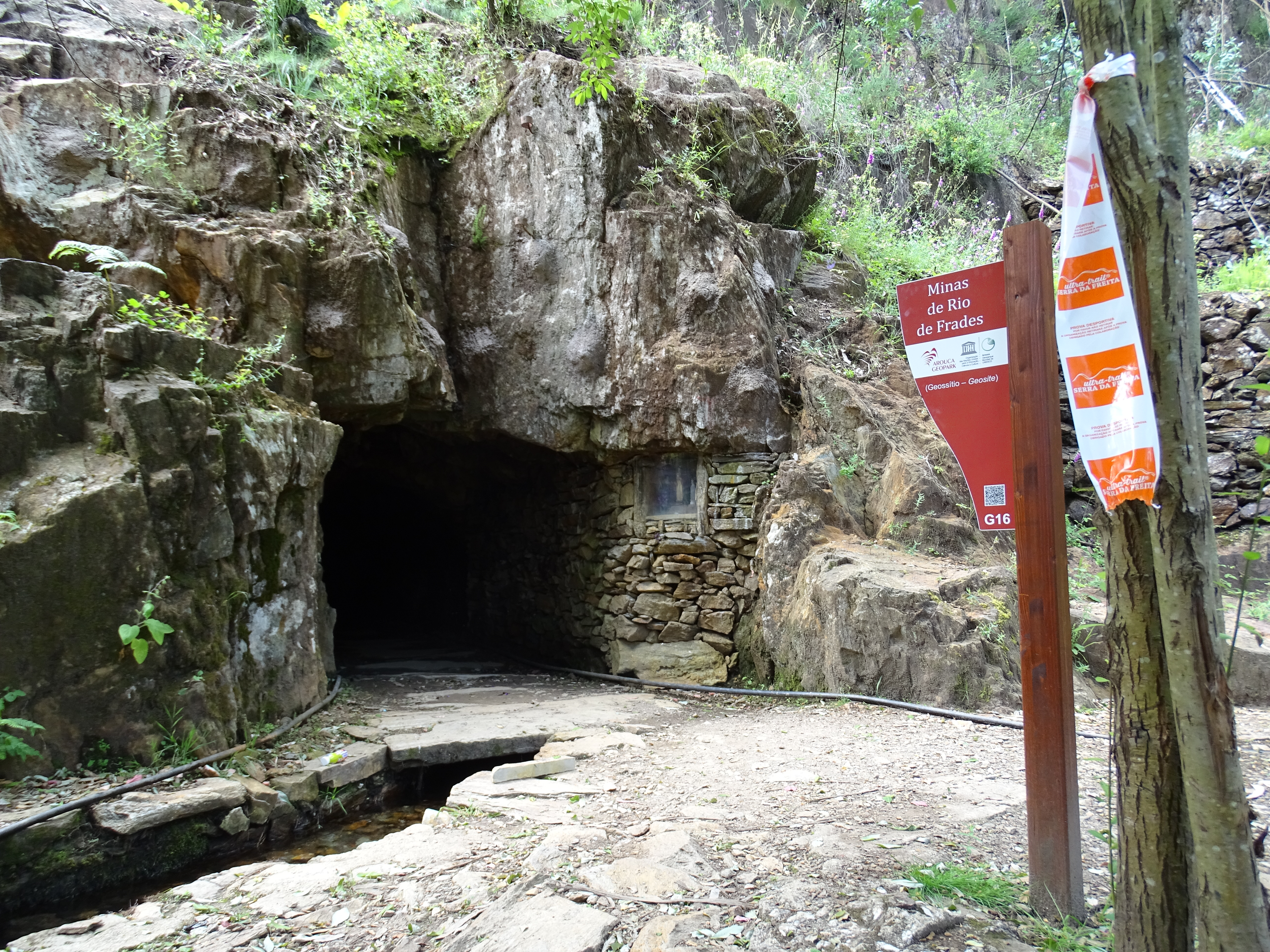
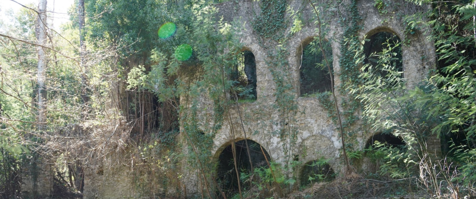
Currently abandoned, the Rio de Frades Tin and Tungsten Mines were exploited by the Companhia Mineira do Norte de Portugal (Northern Portugal Mining Company), of German ownership, which was at its height during the Second World War. According to the Company reports, during this period the old mining gallery, called Vale da Cerdeira, was the most productive in terms of Wolframium from amongst the Couto Mineiro [Mining Area], and today it is still possible to safely travel through its interior along a footpath of approximately 400m, which brings memories from the past mining histories. In addition to all of the adventure related to travelling through the gallery, the surrounding area transforms it into a privileged location. In front of the entrance is a panoramic view over the ruins of the Rio de Frades Mining Complex. After crossing through the gallery, we can see a beautiful, crystalline water fall which pertains to an affluent stream of the Rio de Frades, where it is possible to enjoy contact with Nature in an almost completely wild condition. The cultural and historical characteristics as well the traditions related to the presence of the Germans during World War II add to the attraction. As a result of this presence, the region received significant improvements, such as roads, electrification of the mining installations, and telephone networks.
CHARACTERISTICS
City: Arouca
Postal Code: 4540 - 000
Telephone: 256940254
Email: geral@aroucageopark.pt
Website: http://www.aroucageopark.pt
Specific Conditions:
Visitas turísticas: marcação através de www.aroucageopark.pt e/ou geral@aroucageopark.pt. Pode também usufruir dos serviços das empresas de animação turística. Contactos disponíveis em www.aroucageopark.pt
Method:
On foot
Difficulty Level:
Low
Group Visits:
Yes
Minimum Number of Person per group:
8
Maximum Number of Person per group:
30
Observations:
-
Guided Tours:
Yes
Observations:
Reserva com 8 dias de antecedência
Desde o ano letivo 2008/2009 que a AGA - Associação Geoparque Arouca desenvolve Programas Educativos em toda a área do concelho de Arouca, abrangendo diversas áreas do saber: Geologia, Biologia, Geografia, História, Turismo, entre outros. Consulte a oferta em www.aroucageopark.pt
Target Audience:
Público Escolar e Universitário
Activity Cost:
0€
Weekly Schedule:
monday, tuesday, wednesday, thursday, friday
From 09:30:00 to 12:30:00.
From 14:00:00 to 17:30:00.
Weekend and Holidays Schedule:
saturday, sunday, holidays
From 09:30:00 to 12:30:00.
From 14:00:00 to 17:30:00.
Exceptions:
-
Observations:
www.aroucageopark.pt
http://www.min-saude.pt/Portal/servicos/prestadoresV2/?providerid=344
Where to Stay
http://aroucageopark.pt/pt/explorar/onde-dormir/
Cultural Facilities
http://aroucageopark.pt/pt/planear/contactos-uteis/loja-interativa-de-turismo/
Where to Eat
http://aroucageopark.pt/pt/explorar/onde-comer/
Táxi
Agency Name:
Praça de táxis de Arouca
Telephone Number:
256944424
Parking for private vehicles:
Yes
Inaugurada no dia 19 de setembro de 2013, a Loja Interativa de Turismo de Arouca localiza-se no centro da vila, no antigo cinema Globo D ´Ouro. Esta é uma das Lojas da Região de Turismo do Porto e Norte de Portugal e uma das portas de entrada do Arouca Geopark, sendo um espaço informativo, educativo e de realização de diversas atividades.
gps: 40.92926 -8.24816
distance: 0km
Casa da Ribeira (Sede da AGA)
A "Casa da Ribeira", situada em pleno centro histórico da vila de Arouca, é uma das poucas que resta do núcleo habitacional do séc. XVII. Sobre uma das portas pode encontrar-se a inscrição em latim "NON SINE INVIDIA ANNO 1686", que poderá traduzir-se em "Não sem inveja, ano de 1686). Nesta está instalada a sede da AGA - Associação Geoparque Arouca.
gps: 40.92912 -8.2458
distance: 0km
Geoparks in Portugal UNESCO World Geoparks are territories with locations and landscapes of international geological importance, which combine the protection and promotion of its heritage with sustainable development. They are unique places where the oldest memories are millions of years old and include key locations that testify to the evolution of our planet. These territories are classified by UNESCO under the International Geosciences and Geoparks Program. Spread across all continents, geoparks are much more than areas of heritage relevance. They are dynamic territories of which local communities are part, where nature, history and culture are intertwined. There are currently 5 UNESCO World Geoparks in Portugal: Naturtejo (2006), Arouca (2009), Azores (2012), Terras de Cavaleiros (2014) and Estrela (2020). The Geopark on the coast of Viana do Castelo is preparing the future application, but its level of implementation in the territory, namely the educational offer it already develops, led to its inclusion in the GUIDE OF THE PORTUGUESE GEOLOGICAL AND MINES SITES, naturally without the status that UNESCO gives to the remaining territories. On the other hand, new applications are being developed, with several projects in the Oeste, Algarve and Figueira da Foz, which in due time may have their presence on this platform. To visit Portuguese geoparks is to embark on a journey that began 600 million years ago, when Portugal occupied a very different place on the globe, going through incredible episodes of formation and destruction of mountains and seas, of the appearance and extinction of species, of the occurrence of deep climate change, major volcanic eruptions ... until today in the relationship between man and the planet On this GUIDE the visitor will find a proposed itinerary to visit the most significant points in each national geopark, including, of course, the one located in the Autonomous Region of the Azores. Take a "good trip" on the GUIDE OF THE PORTUGUESE GEOLOGICAL AND MINES SITES and discover the interesting places we introduce you throughout the country.
Wolfram Route
The history of the twentieth century is deeply marked by the arms race and the two World Wars that ravaged the European continent. During this period, the race for wolfram assumes high importance and remains large-scale until the late 1950s. Portugal emerges as the largest European producer of this mineral, benefiting from the richness of its geological resources, multiplying a little throughout the country the mining explorations that profoundly mark the evolution of the local landscape and economy. With the reduction in demand for this mineral from the middle of the century and the emergence of new producing markets, interest in wolfram in Portugal has declined, leading to the abandonment of explorations. The structures of this golden period of mining in Portugal remain in the landscape, still marking the regions that surround them.
The Braçal mining complex includes the Braçal, Malhada and Coval da Mó mines and extends along the Mau River, on the eastern slope of the Serra do Braçal. This complex is the oldest Portuguese mining concession, registered under number 1, a ...
It tells the story of a territory, disclosing its heritage and elements of cultural and ethnographic interest. It is also a place where one investigates, protects and learns about Sever do Vouga's heritage. It approaches Archeology in Terra ...
The Stone Museum of Marco de Canaveses is more than what you see. The permanent exhibition is the first step of a project to extend the Museum to other places. In the future it will be a polynuclear museum. Larger, dynamic and innovative. ...


