Home /
Panasqueira Mines Crystal Shop /
Panasqueira Mines Crystal Shop, Barroca Grande
Panasqueira Mines Crystal Shop, Barroca Grande
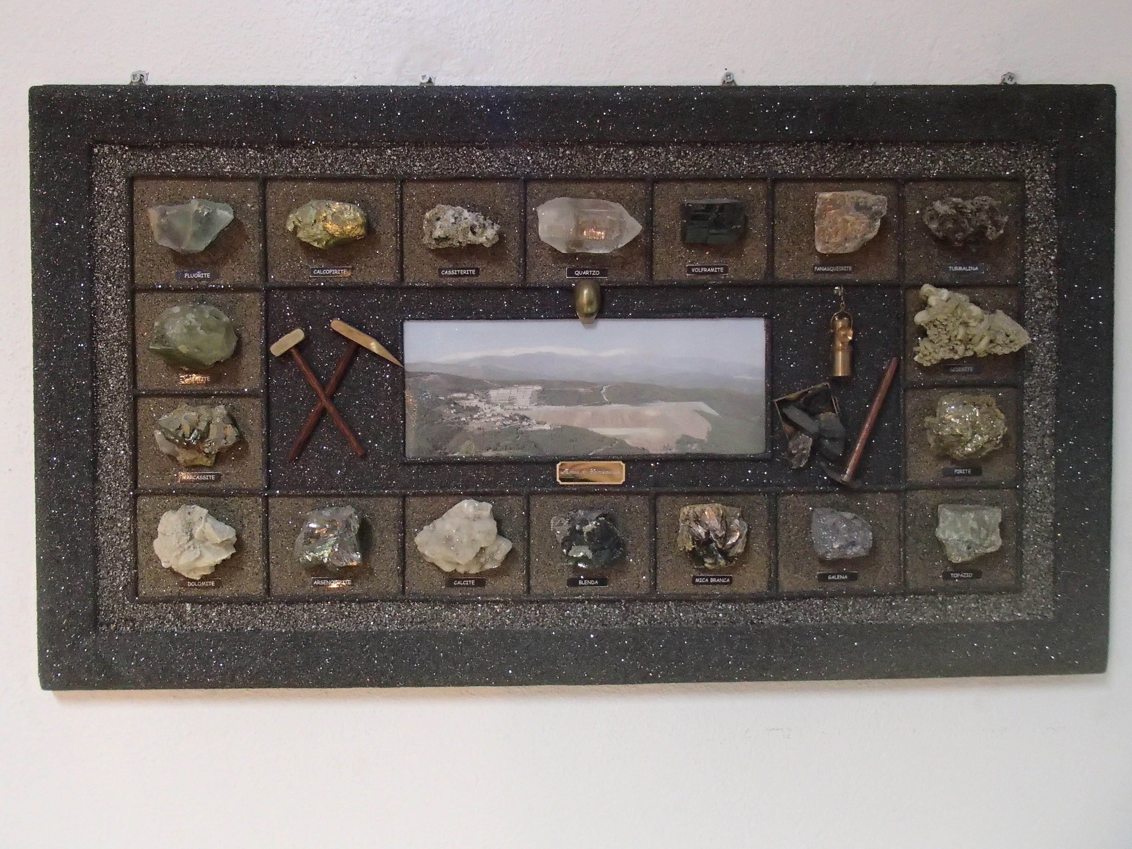
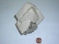
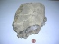
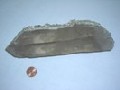
Shop which offers exclusive selection of minerals and products from the Panasqueira Mines.

CHARACTERISTICS
LOCATION
Address: Barroca Grande
City: Barroca Grande
Postal Code: 6225 - 051
Telephone: 275659100
Email: beralt@beraltportugal.pt
Website:
City: Barroca Grande
Postal Code: 6225 - 051
Telephone: 275659100
Email: beralt@beraltportugal.pt
Website:
FUNCTIONING
Weekly Schedule:
monday, tuesday, wednesday, thursday, friday
From 13:00:00 to -.
From 18:00:00 to -.
Weekend and Holidays Schedule:
From 00:00:00 to 00:00:00.
From 00:00:00 to 00:00:00.
Exceptions:
-
Paid Entry:
0€
Discount Policy:
-
monday, tuesday, wednesday, thursday, friday
From 13:00:00 to -.
From 18:00:00 to -.
Weekend and Holidays Schedule:
From 00:00:00 to 00:00:00.
From 00:00:00 to 00:00:00.
Exceptions:
-
Paid Entry:
0€
Discount Policy:
-
ORGANISATION OF THE VISIT
The visit to this Point does not require prior booking and can be done individually.
Specific Conditions:
-
Method:
On foot
Difficulty Level:
Low
Group Visits:
Yes
Minimum Number of Person per group:
1
Maximum Number of Person per group:
30
Observations:
-
Guided Tours:
No
Observations:
-
Specific Conditions:
-
Method:
On foot
Difficulty Level:
Low
Group Visits:
Yes
Minimum Number of Person per group:
1
Maximum Number of Person per group:
30
Observations:
-
Guided Tours:
No
Observations:
-
EXISTING EQUIPMENT
Exterior mining facilities
EXTERNAL SUPPORT
Where to Stay
http://aeiou.escape.expresso.pt/castelo-branco/alojamentos/pousada-de-juventude-da-mina-funda
Security Forces
http://www.lifecooler.com/edicoes/lifecooler/desenvRegArtigo.asp?reg=305134
Security Forces
http://www.hotfrog.pt/Empresas/Farm-cia-Bento-Leal-Sociedade-Unipessoal-Lda
Cultural Facilities
http://clubepanasqueira.no.sapo.pt/
Where to Eat
http://codigopostal.ciberforma.pt/dir/empresa2.asp?emp=259576
Where to Eat
http://codigopostal.ciberforma.pt/dir/empresa2.asp?emp=259624
Where to Eat
http://www.jf-silvares.pt/index.php?Itemid=2&option=com_content
TRANSPORT
Type of Transport:
T. Rodoviário
Agency Name:
ATF - Auto Trasnportes do Fundão
Telephone Number:
275750100
Type of Transport:
Táxi
Agency Name:
Táxis São Francisco Lda.
Telephone Number:
275657394
Parking for private vehicles:
Yes
T. Rodoviário
Agency Name:
ATF - Auto Trasnportes do Fundão
Telephone Number:
275750100
Type of Transport:
Táxi
Agency Name:
Táxis São Francisco Lda.
Telephone Number:
275657394
Parking for private vehicles:
Yes
SITES OF TOURISTIC INTEREST
ASSOCIATED ROUTES
Wolfram Route
The history of the twentieth century is deeply marked by the arms race and the two World Wars that ravaged the European continent. During this period, the race for wolfram assumes high importance and remains large-scale until the late 1950s. Portugal emerges as the largest European producer of this mineral, benefiting from the richness of its geological resources, multiplying a little throughout the country the mining explorations that profoundly mark the evolution of the local landscape and economy. With the reduction in demand for this mineral from the middle of the century and the emergence of new producing markets, interest in wolfram in Portugal has declined, leading to the abandonment of explorations. The structures of this golden period of mining in Portugal remain in the landscape, still marking the regions that surround them.
The history of the twentieth century is deeply marked by the arms race and the two World Wars that ravaged the European continent. During this period, the race for wolfram assumes high importance and remains large-scale until the late 1950s. Portugal emerges as the largest European producer of this mineral, benefiting from the richness of its geological resources, multiplying a little throughout the country the mining explorations that profoundly mark the evolution of the local landscape and economy. With the reduction in demand for this mineral from the middle of the century and the emergence of new producing markets, interest in wolfram in Portugal has declined, leading to the abandonment of explorations. The structures of this golden period of mining in Portugal remain in the landscape, still marking the regions that surround them.
SUGGESTIONS OF THE ROUTE- OTHER NEARBY PLACES TO VISIT
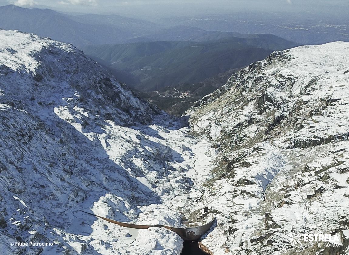
Alforfa glacial valley (Geosite)
This glacial valley, controlled by the fault that extends from Bragança to Unhais da Serra, illustrates the main characteristics of a valley glaciation, with overdeepenings and riegels, moraine deposits illustrating different phases of glac ...
Cântaro Gordo horn (Geosite)
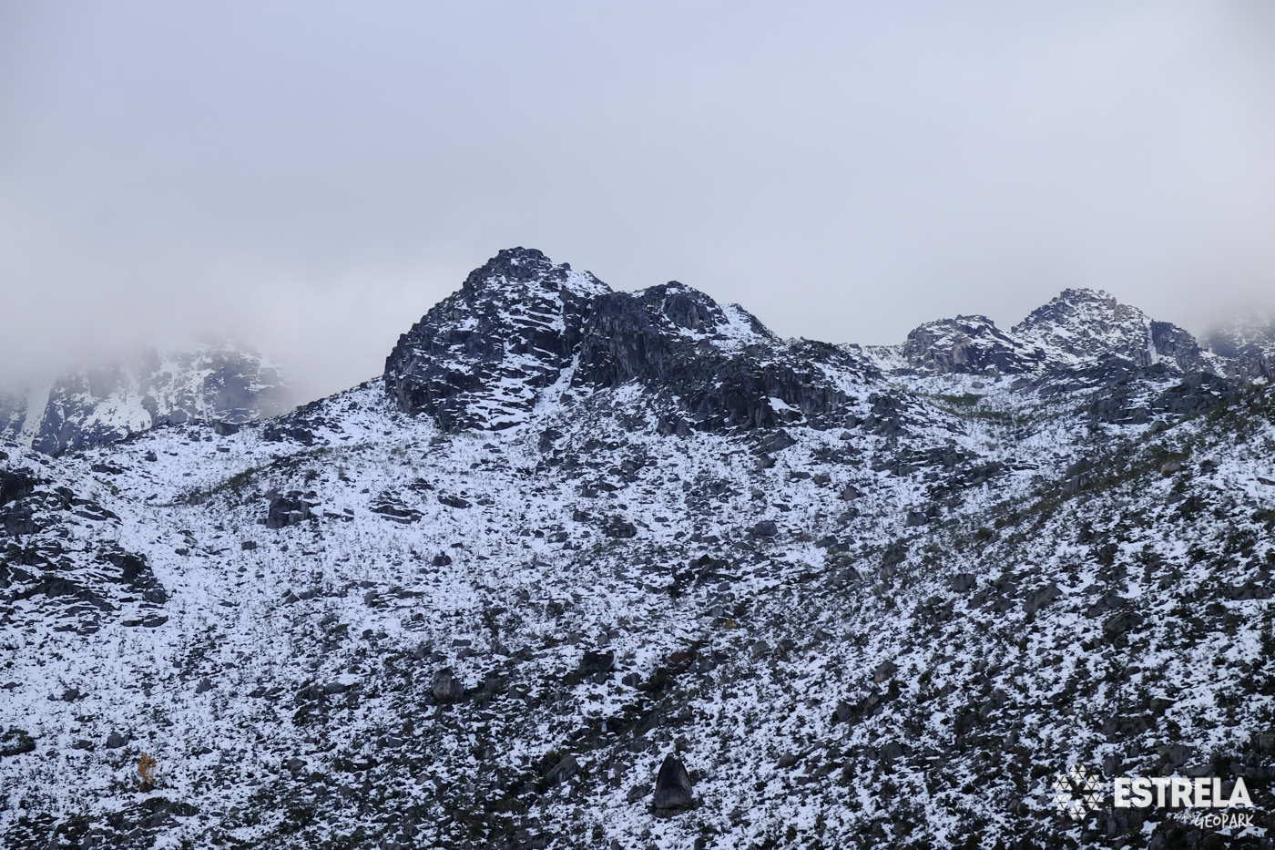
This peak, with an altitude of 1875 meters, was a nunatak during the last glaciation, remaining above the surface of glaciers and thus preserving the shape that is observed. This was due to the presence of less fractured zones, in contrast ...
Cântaro Magro peak (Geosite)
It is the most rugged peak of the Estrela with 1928 meters of altitude, deeply incised by glacial erosion in its flanks, having formed a nunatak during the last glaciation, that is, this relief was not covered by glacial ice, emerging above ...
CISE - Interpretation Centre of Serra da Estrela
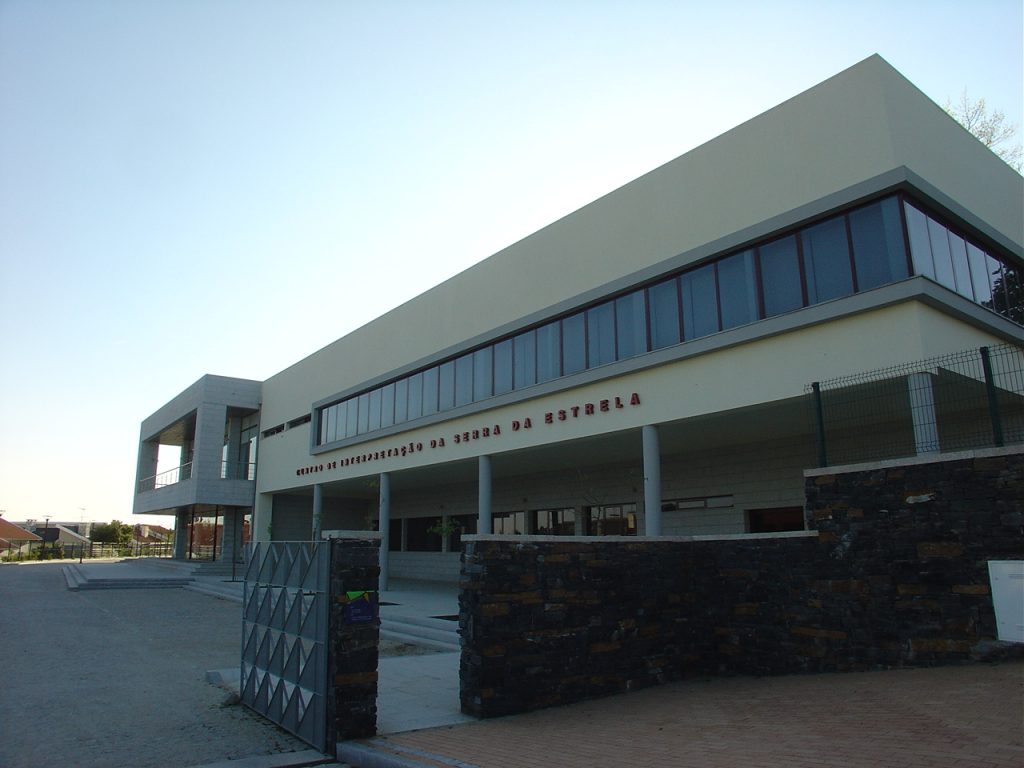
The Interpretation Center of the Serra da Estrela (CISE) is a structure of the Municipality of Seia, oriented to the development of activities of environmental education and valorization of the environmental heritage of the Serra da Estrela ...
CITEG - Estrela Geopark Torre Interpretation Centre
The CITEG, located in the Tower of Serra da Estrela, aims at recognizing and valorising the Natural and Cultural Heritage of this territory, as well as safeguarding its identity.
Covões da Ametade and Albergaria (Geosite)
These are glacial overdeepenings in the Zêzere valley, filled by post-glacial deposition and used in the past for agriculture and shepherding. These sites demonstrate the erosive capacity of the glacier, which originated poorly drained basi ...
Fraga de Agua d’Alta Waterfall
The Agua d’Alta Cliff is the largest existing waterfall in the Naturtejo Geopark and in all of the Beira Baixa, in the Agua d’Alta River, with a drop of 50 metres followed by a succession of 3 veils of turbulent water. It is possible to obs ...
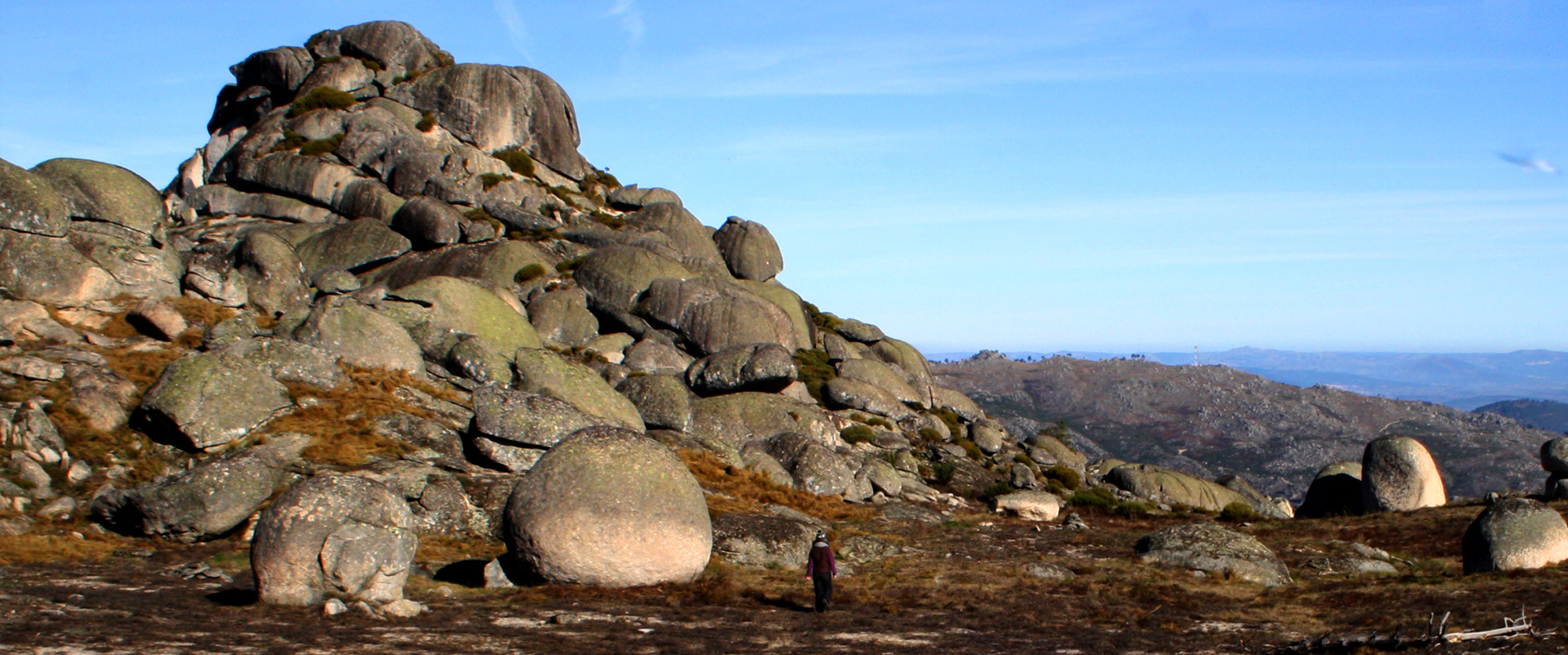
Fragões das Penhas tor and castle-koppie (Geosite)
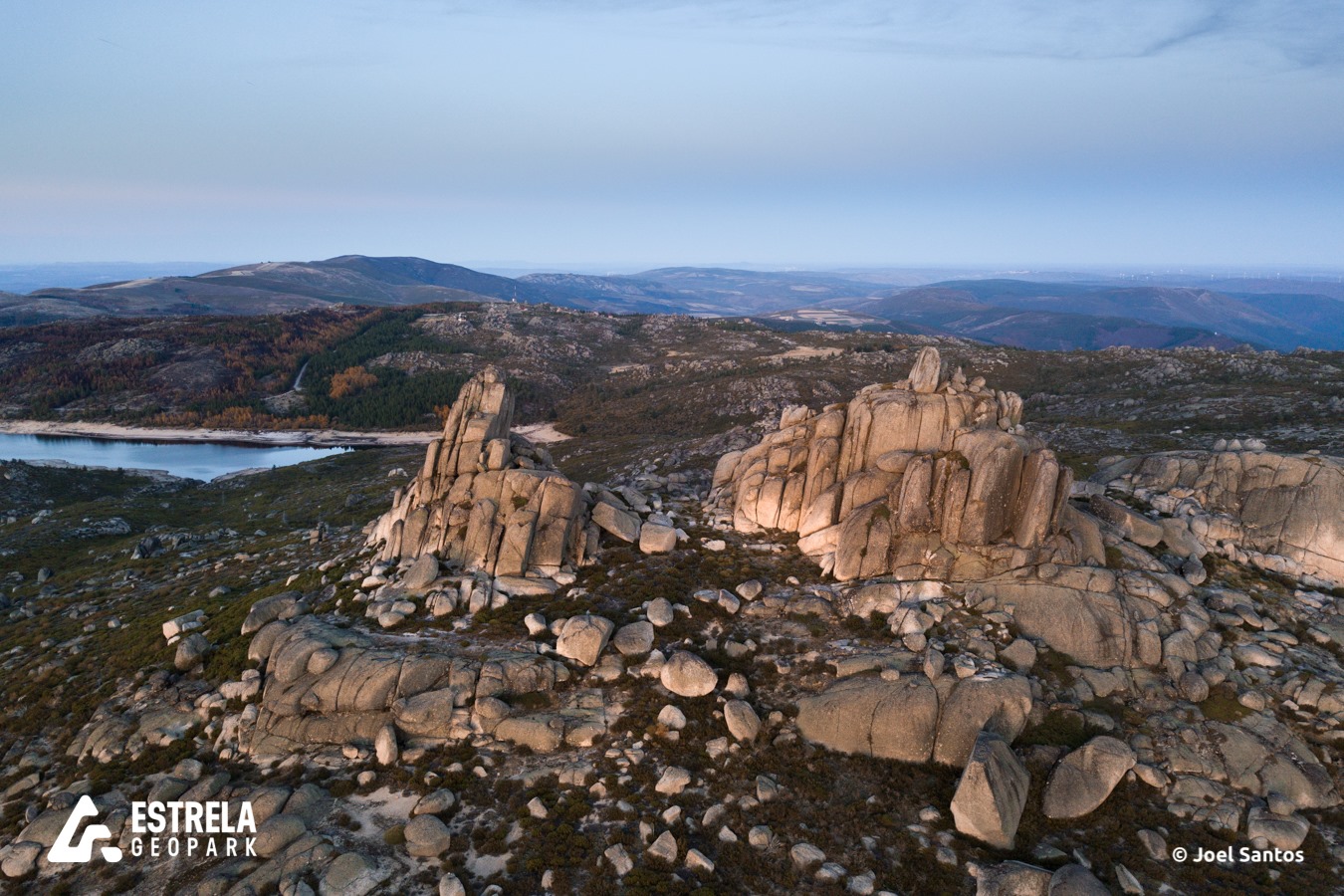
In a typical granite weathering landscape, the Fragões das Penhas Douradas, located at a summit position south of Vale do Rossim, are majestic granite outcrops that protrude above de sands that make up the weathering mantle. Its forms are c ...
Glacial cirque of Covão Cimeiro (Geosite)
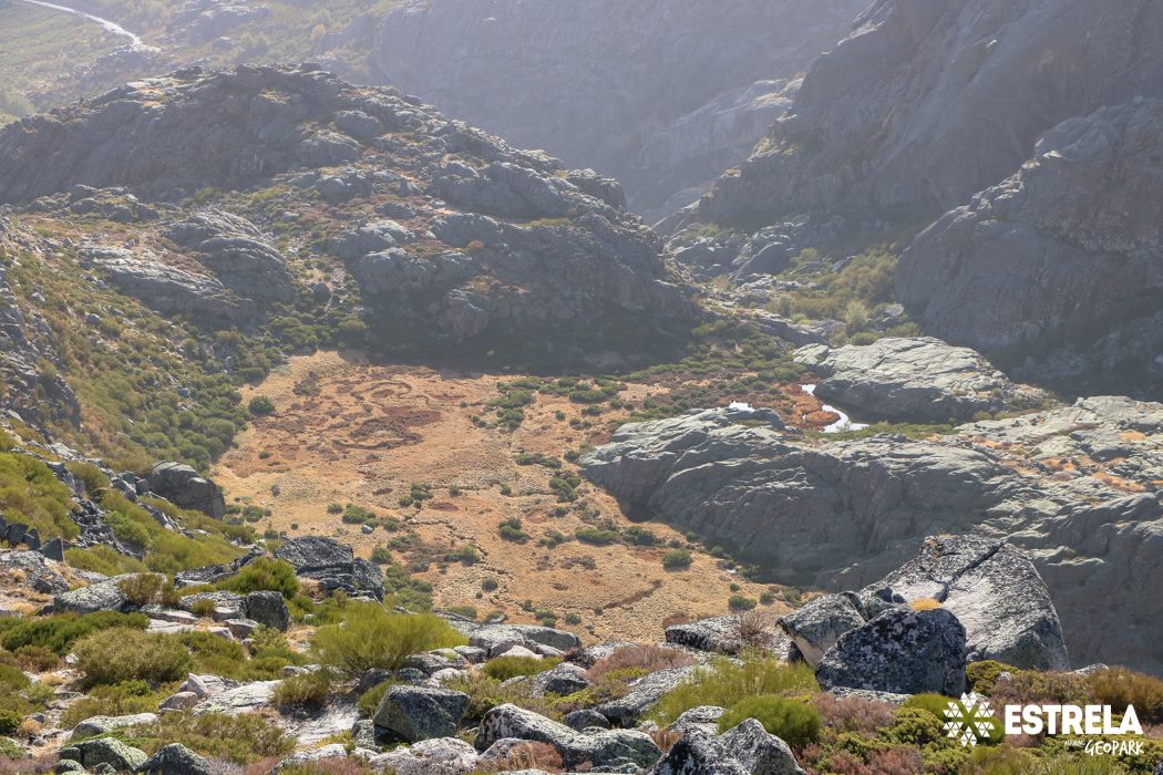
Covão Cimeiro is a perfect glacial cirque, showing vertical backwalls, with 300 meters relief, and a poorly drained basin, which is a glacial overdeepening – the Covão. Downstream from the overdeepening a convex rock outcrop almost closes t ...
Granite collumns of Covão do Boi (Geosite)
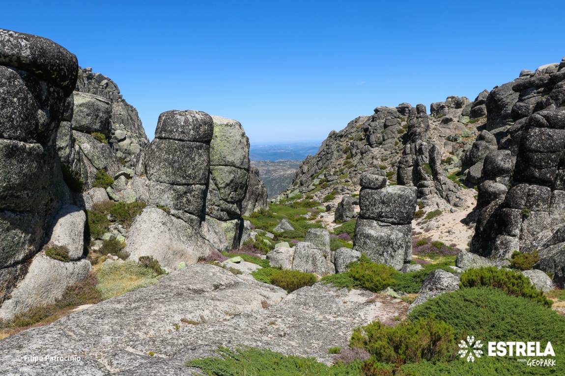
Between the glacial cirque of Covão do Ferro, the Zêzere glacial valley and the Cântaro Raso, the Covão do Boi, located at 1840 meters a.s.l., appears. In this geosite we find a set of granite columns, with diameters of 2 to 5 meters and be ...
Granite Landforms of Gardunha
A colossal granite giant rises abruptly over the vast plain of Castelo Branco, reaching 1227 m high. Surrounded by a pine forest ring up to 800 m, its bare peaks resemble ruined castle. These accumulations of granite morphologies are freque ...
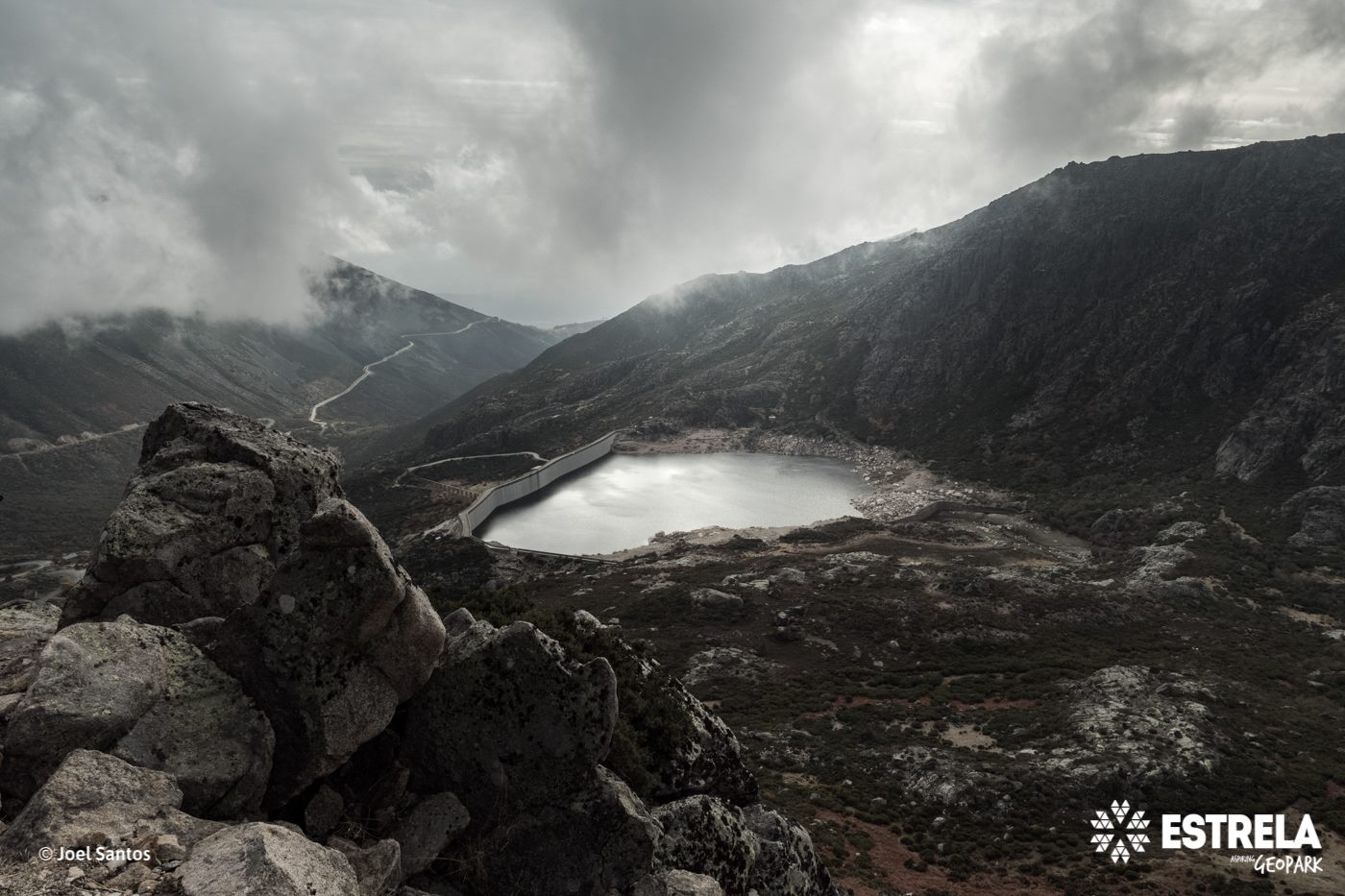
Lagoa Comprida (Geosite)
This is one of the geosites that best exemplifies glacial erosion in the Serra da Estrela, with glacial polished surfaces, erratic boulder fields, roches moutounnées, and glacial striations, still well observed in the landscape around Lagoa ...
Lagoa Seca col moraine fields (Geosite)
At 1420 meters above sea level, the moraine field of Lagoa Seca is an important evidence of the glacial dynamics of the Zêzere Valley, witnessing several phases of its total filling with over 250 m of ice thickness. In this geosite there ar ...
Loriga glacial valley (Geosite)
Above an altitude of about 780 meters the Loriga valley shows the action of the last glacial period, from which it gains the designation of Loriga glacial valley. With a typical U-shaped cross-section, the valley was sculpted by the Loriga ...
Nave de Santo António and Poio do Judeu (Geosite)
Located about 1500 meters above sea level, between the valleys of Zêzere (to the north) and Alforfa (to the south), and being an area of transition between the western and eastern Estrela’s plateaus, the Nave de Santo António is one of the ...
Orvalho GeoRoute
Travelling the Orvalho GeoRoute the Agua d’Alta Stream is crossed and there is a series of waterfalls in the Agua d’Alta cliff area, one of the 16 geomonuments of the Naturtejo Geopark, where water was stronger than rock. In the middle of a ...
Rua dos Mercadores dolerite dike (Geosite)
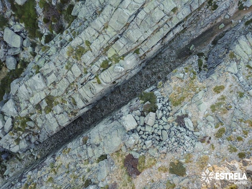
The southern slope of the Cântaro Magro is bounded by a faulted sector, showing a dolerite dike intrusion, a magmatic rock with a mineral composition similar to basalt. The dike is deeply weathered and weaker than the granite country-rock a ...
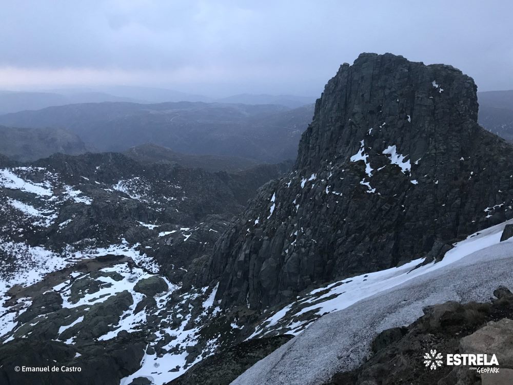
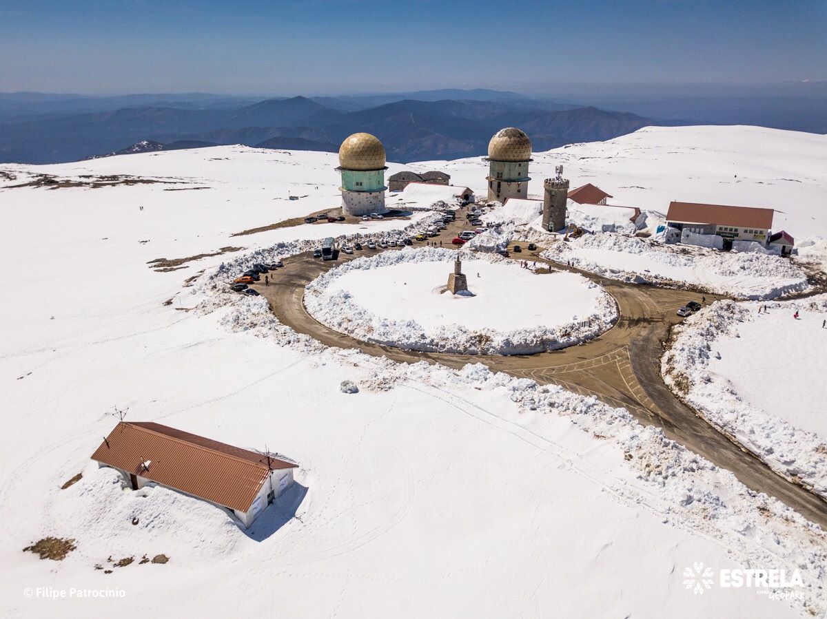
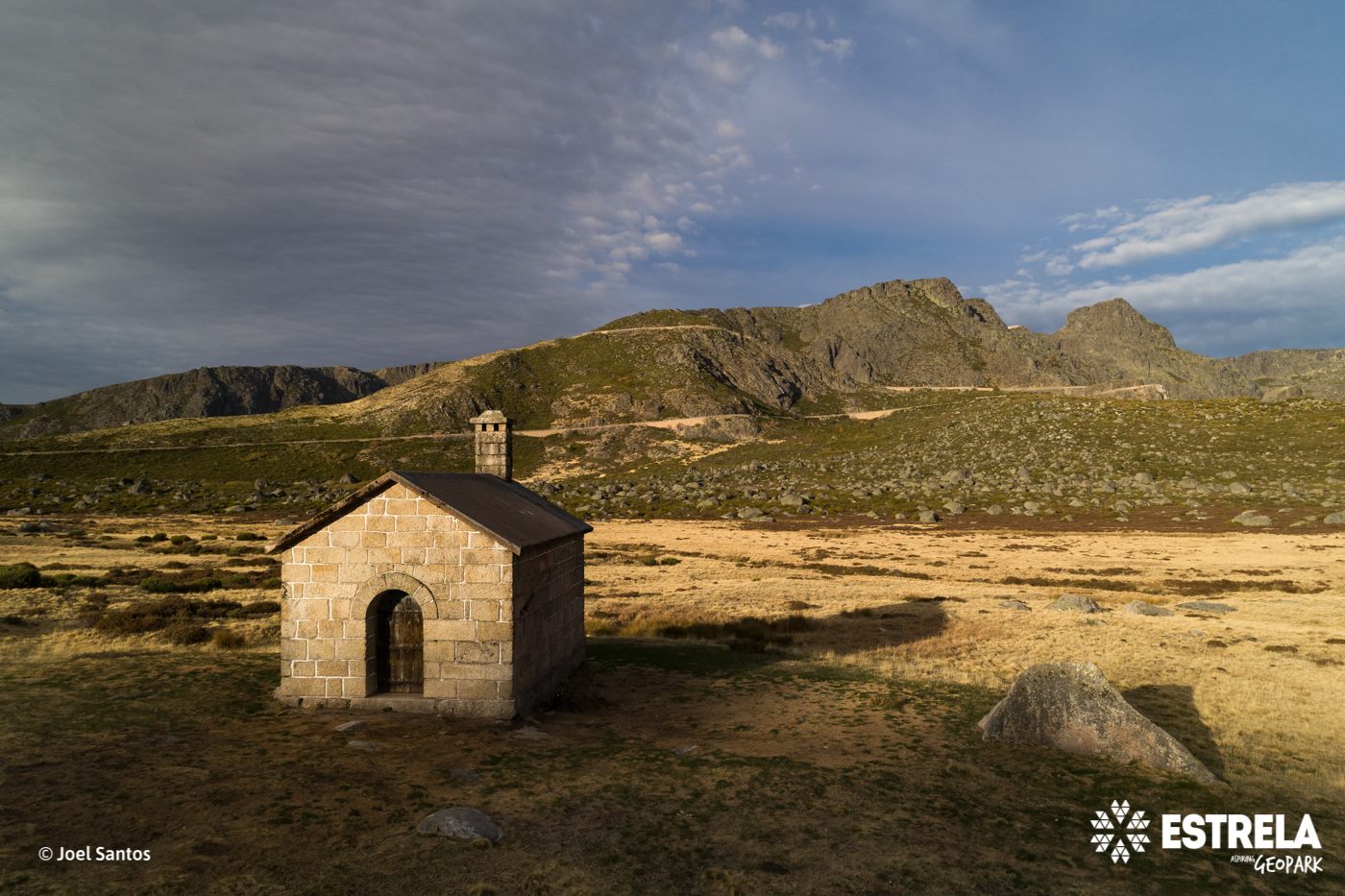
Torre Plateau (Geosite)
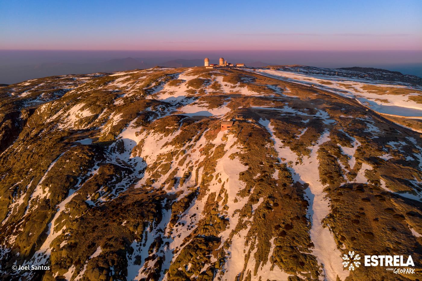
The Torre Plateau, with an elevation rising from about 1,500 m in the north, at Penhas Douradas, to 1993 m at the Alto da Torre, is the highest summit in mainland Portugal. About 20 million years ago, after a phase of tens of millions of ye ...
Varanda dos Carqueijais panorama (Geosite)
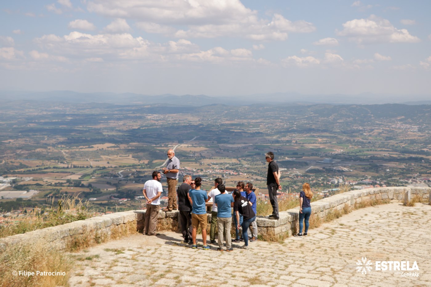
From here you can enjoy a magnificent panoramic view over Cova da Beira and further away, to the Castelo Branco Surface. These were the surfaces that, about 10 million years ago, gave origin to Serra da Estrela, which raised between tectoni ...
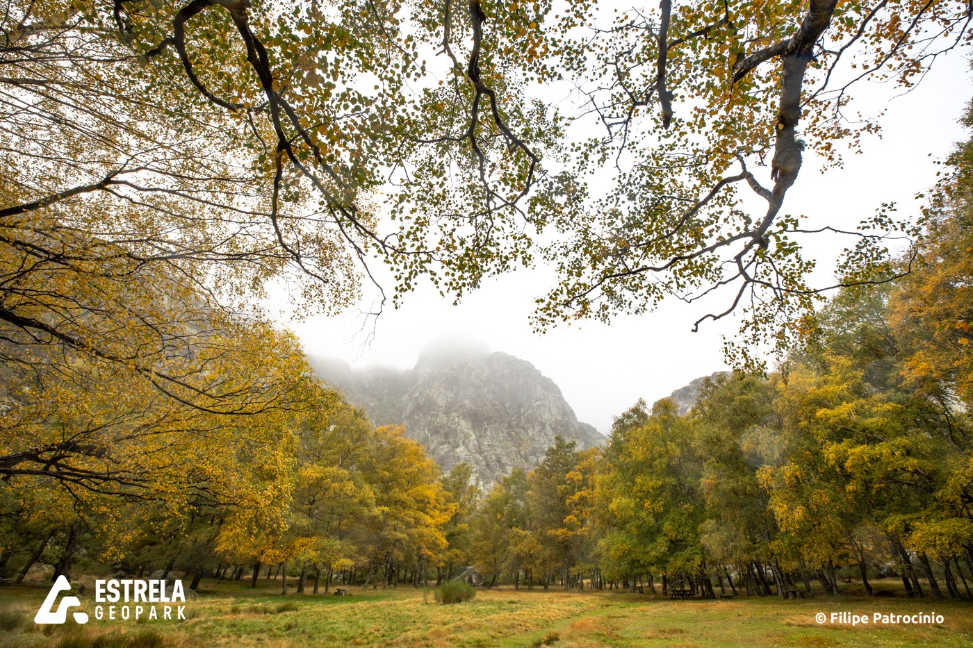
Zêzere glacial valley (Geosite)
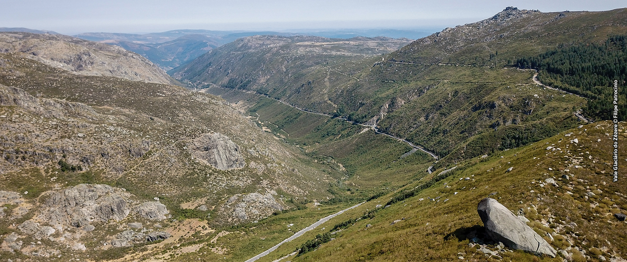
The Zêzere valley is a perfect example of glacial erosion. With a U-shaped cross-section profile along 10 km, between Covão da Ametade and the town of Manteigas, the valley presents in its upstream sector a succession of overdeepenings, rie ...
Zêzere Gorge
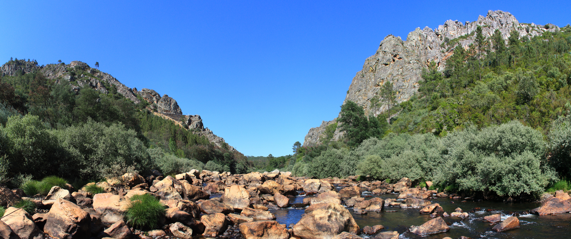
The quartzite cliffs of Zêzere Gorge are impressive successive layers of pure quartzite erected vertically at hundreds of meters of altitude and flanked by chaotic slope deposits drained to the banks of the river Zêzere. They are records of ...