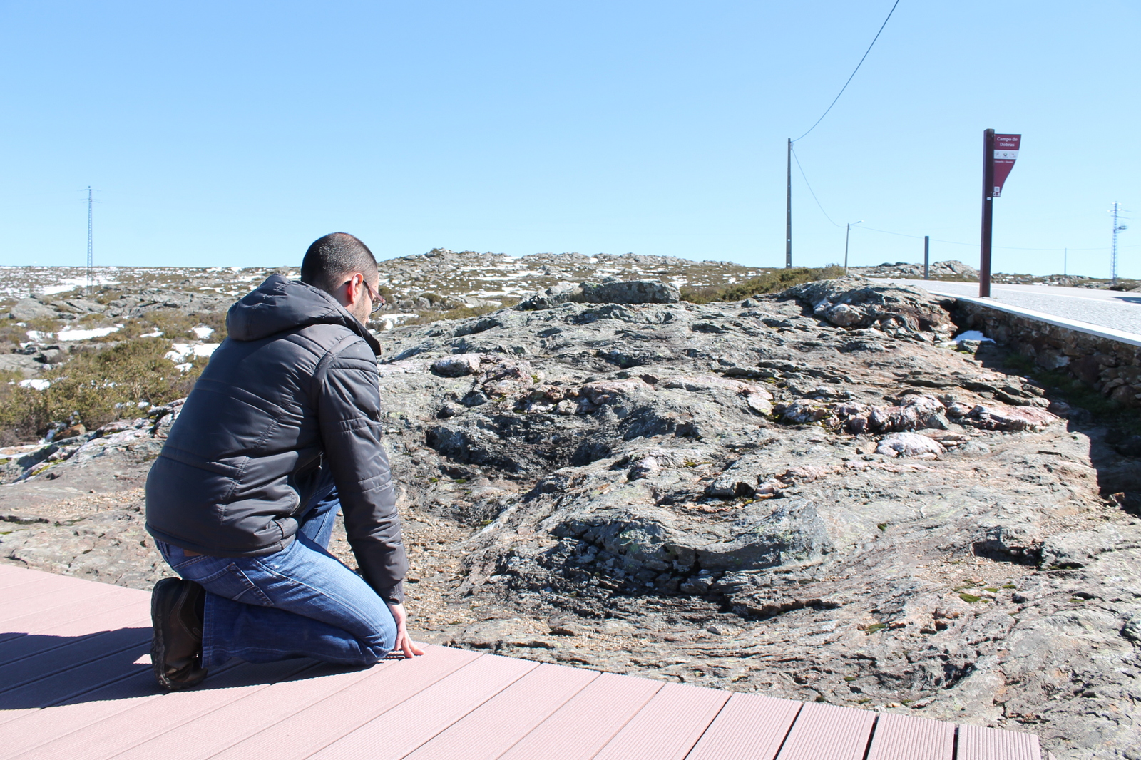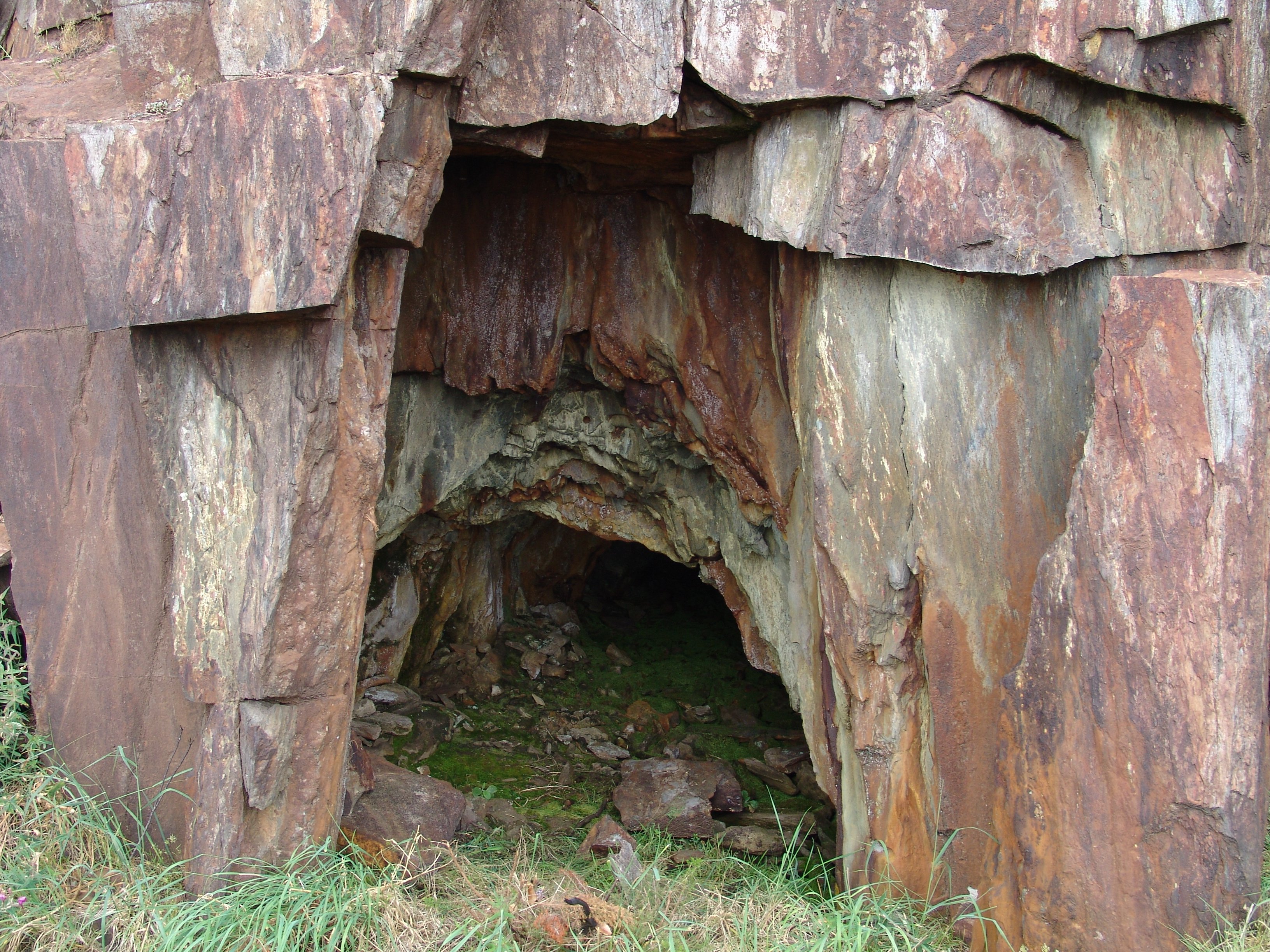


This geosite is an outcropping found in the slope of the road near the settlement of Chao de Espinho. It is a location which proves the even earlier state of the evolution of orthogonal fracturing of the Quartz Diorite Mass. The network of ...
Home /
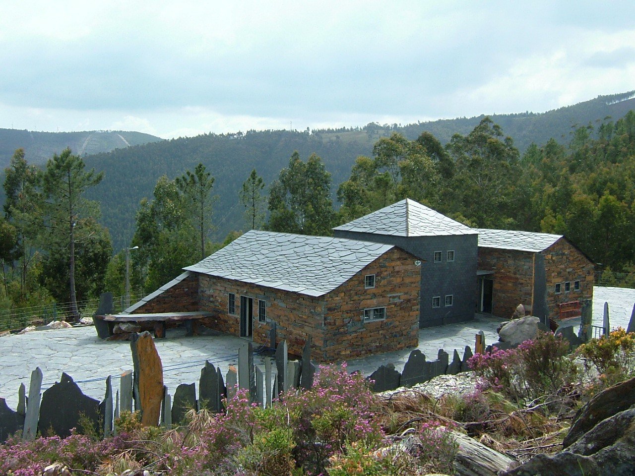
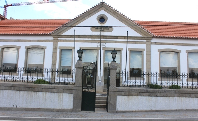
The Stone Museum of Marco de Canaveses /
Stone Museum of Marco de Canaveses, Alpendorada, Várzea e Torrão