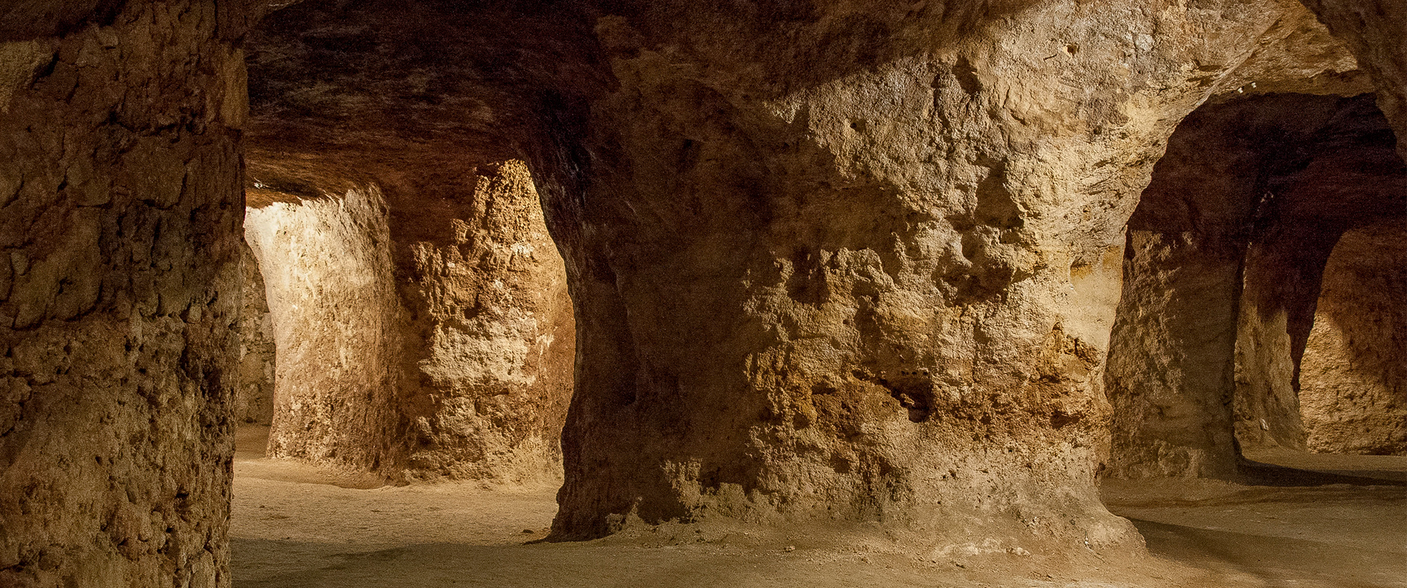


The Caves of Coin Scientific and environmental interpretation Centre (CICA gm) is characterized by being an informative, didactic and scientific space. It is a place where students, tourists and public in general can find answers to the mul ...
Home /
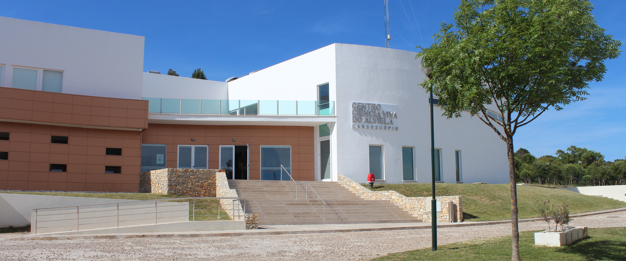
Centro de Ciência Viva do Alviela /
The Olhos de Água of Alviela River Spring, Alcanena