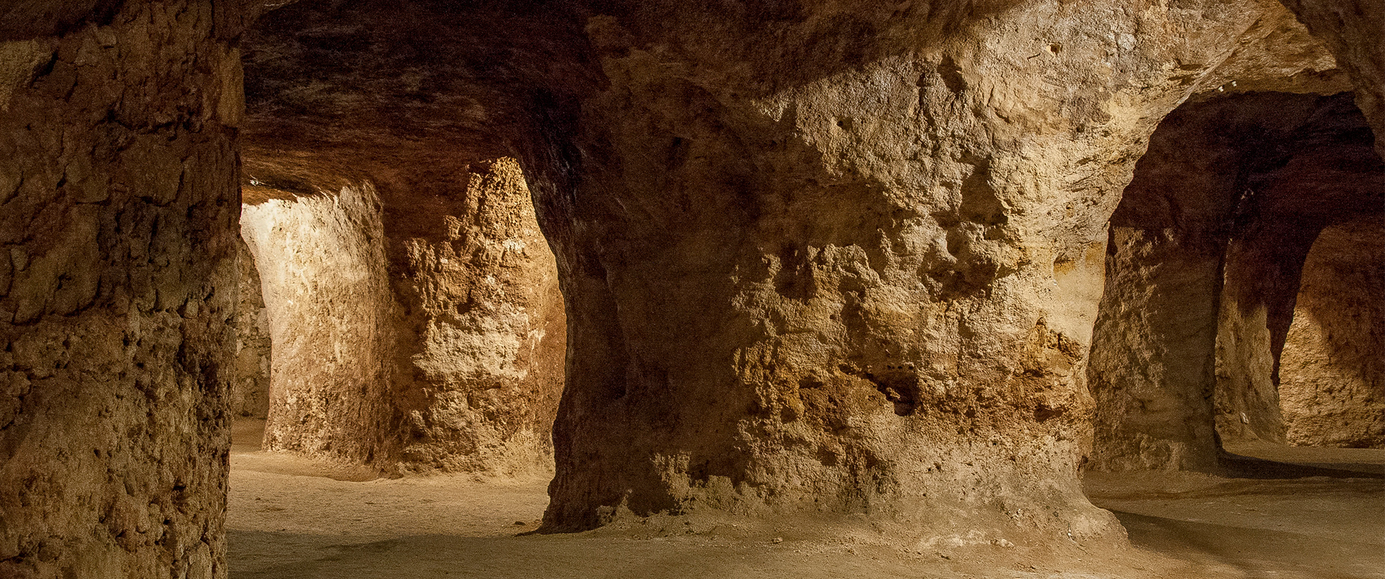
The Caves of Coin Scientific and environmental interpretation Centre (CICA gm) is characterized by being an informative, didactic and scientific space. It is a place where students, tourists and public in general can find answers to the mul ...
The Santo António Plateau, Serra de Santo António
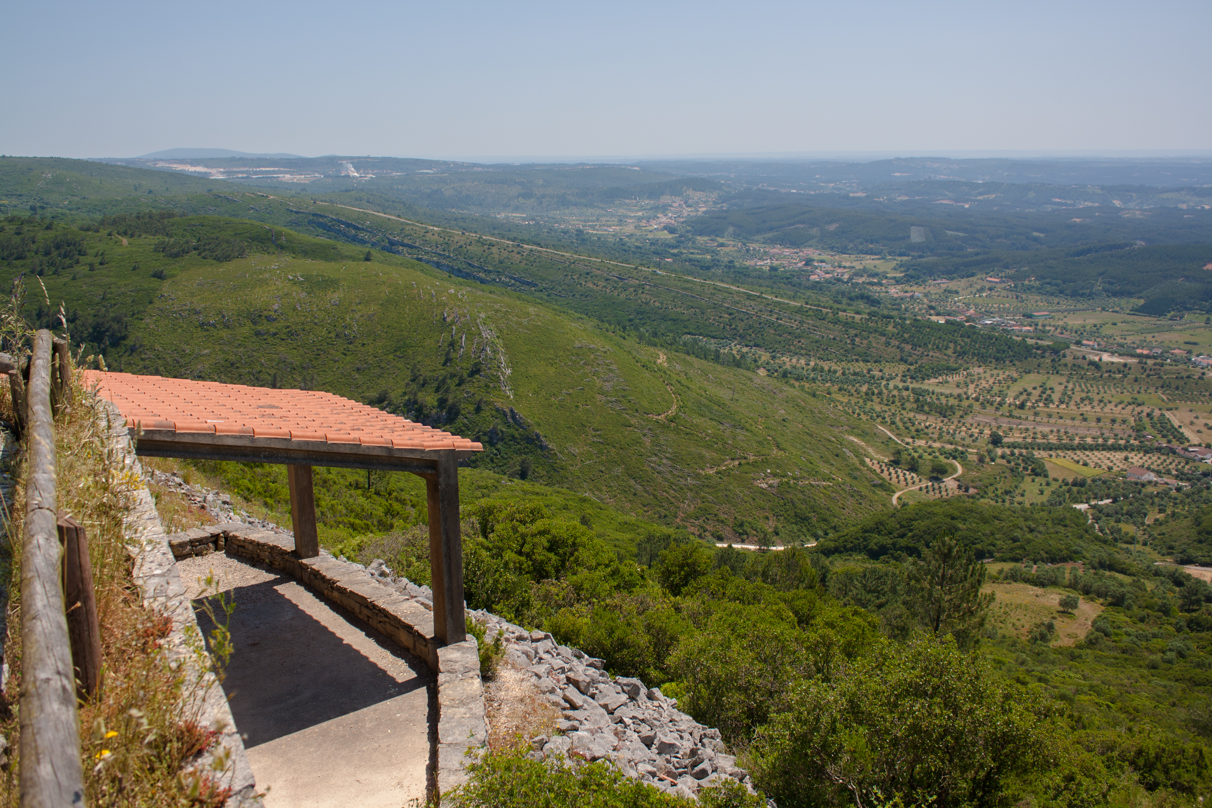
The Santo António Plateau is located in the heart of the Serras de Aire e Candeeiros Natural Park, east of the Candeeiros Mountain and south of the Aire Mountain and the São Mamede Plateau. The Santo Antonio Plateau harbors an uncommon karsic landscape of overwhelming beauty where the dryness of the land and the abundant limestone lead man to adapt his lifestyle to the harsh environment, creating a unique landscape teeming with typical rustic constructions in limestone spread throughout the region. Many of these structures are used as property divisions for cow and sheep herding. Others are used to help prevent topsoil from eroding off the hillsides as others are used as shelters for herders. Geologically, this plateau offers many different karsic characteristics, such as dolines, uvalas and lapias fields that are a result of the water and wind’s effects on the limestone during thousands of years of erosion.
CHARACTERISTICS
City: Serra de Santo António
Postal Code: 2380 - 608
Telephone: 249845841
Email: geral@juntadaserra.pt
Website: https://www.serrasantoantonio.pt/
tuesday, wednesday, thursday, friday
From 13:00:00 to -.
From 18:00:00 to -.
Weekend and Holidays Schedule:
From 10:00:00 to 13:00:00.
From 14:00:00 to 18:00:00.
Exceptions:
From may 1st to september 30th Tue-Fri 10:00am - 06:00pm Sat | Sun | Hol 11:00am - 07:00pm
Paid Entry:
0€
Discount Policy:
Prices may differ according to the activity
Specific Conditions:
-
Method:
Organized transportation
Difficulty Level:
Average
Group Visits:
Yes
Minimum Number of Person per group:
15
Maximum Number of Person per group:
60
Observations:
-
Guided Tours:
Yes
Observations:
For organized groups prior booking is necessary. For individual visitation booking is not necessary.
-
Activity Program:
Summer with Geology; Hot and Cold Quaternary Field Trip
Study and Research Unit:
The Santo Antonio Plateau harbors an uncommon karsic landscape of overwhelming beauty where the dryness of the land and the abundant limestone lead man to adapt his lifestyle to the harsh environment creating a unique landscape teeming with typical rustic constructions in limestone spread throughout the region.
Audiovisual and Multimedia Resources:
-
Volunteering Programs:
-
Summer with Geology; Hot and Cold Quaternary Field Trip
Target Audience:
Schools, Public in General
Activity Cost:
0€
Weekly Schedule:
tuesday, wednesday, thursday, friday
From 10:00:00 to 13:00:00.
From 14:00:00 to 18:00:00.
Weekend and Holidays Schedule:
saturday, sunday, holidays
From 10:00:00 to 13:00:00.
From 14:00:00 to 18:00:00.
Exceptions:
From may 1st to september 30th Tue-Fri 10:00am - 06:00pm Sat | Sun | Hol 11:00am - 07:00pm
Observations:
Prices may differ according to the activity
http://cm-alcanena.pt/index.php/pt/visitar-2/ondedormir
Where to Eat
http://cm-alcanena.pt/index.php/pt/visitar-2/ondecomer
Táxi
Agency Name:
Praça de Táxis Alcanena
Telephone Number:
249882494
Type of Transport:
Táxi
Agency Name:
Táxis de Minde
Telephone Number:
249840671
Parking for private vehicles:
Yes
The Coin Caves (Grutas da Moeda) are located in São Mamede, municipality of Batalha. Its discovery happened in 1971, as two huntsmen that were chasing a fox, saw it enter by one natural hole under the bushes. Moved by curiosity, they decide ...
This infrastructure was created in 2006 with the objective of providing the Maceira-Liz Factory Museum with a space dedicated to research, to the study of the collections, and to the reception of visitors. It is installed in an office which ...
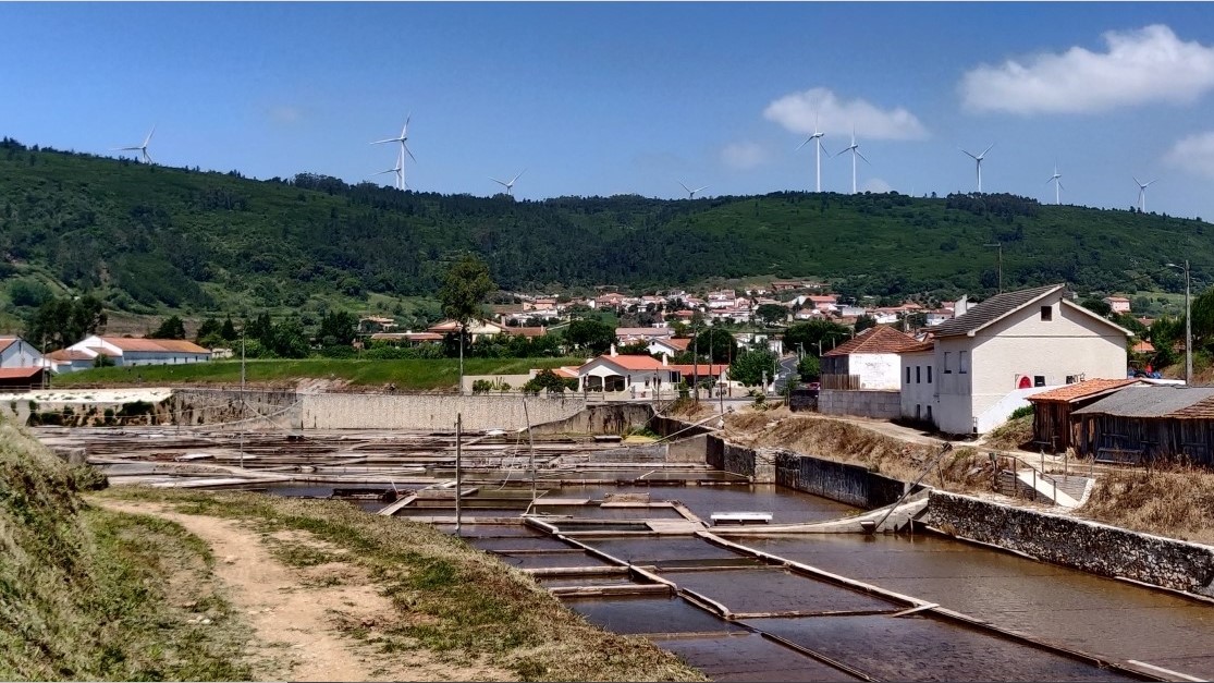
The salt-pans can be found 3 km away from Rio Maior, in a valley at the bottom of Candeeiros Mountain. Surrounded by trees, vineyards and other cultivated lands, they are considered a natural wonder, once the sea is about 30 km away. The en ...
The marl and limestone in the Maceira-Liz Factory quarries date back to the Jurassic Period. The paleontological heritage of the quarries largely consists of marine cephalopod fossils which emerge from the area of the stones which were cove ...
Lapas Caves are a network of artificial galleries developed beneath the houses of the village with the same name. This urban area has been raised in a small elevation corresponding to a fluvial terrace of Almonda river, from the Quaternary, ...
The Limestone Quarry Observatory comprises a privileged location for the observation of the entire limestone outcropping which dates back to the Jurassic period. The visitor will get to know the geological and paleontological framework of t ...
In 1935, the Maceira-Liz Factory began a new phase of development and technological innovation with the installation of the third production line, which began operations in 1938. This new production line was conceived to operate independent ...
Locomotive No. 1 was acquired in the beginning of 1926 and was in use until 1987. Its first trip to the Martingança station was conducted in July 1926, along the wide gauge railway which connected E.C.L to the national Western Line. All mov ...
The Nucleo Central of the Maceira-Liz Factory Museum was inaugurated on April 22, 1991 and was restructured between 2003 and 2011. It brings together a retrospective of the history of the Empreza de Cimentos de Leiria, through which the vis ...
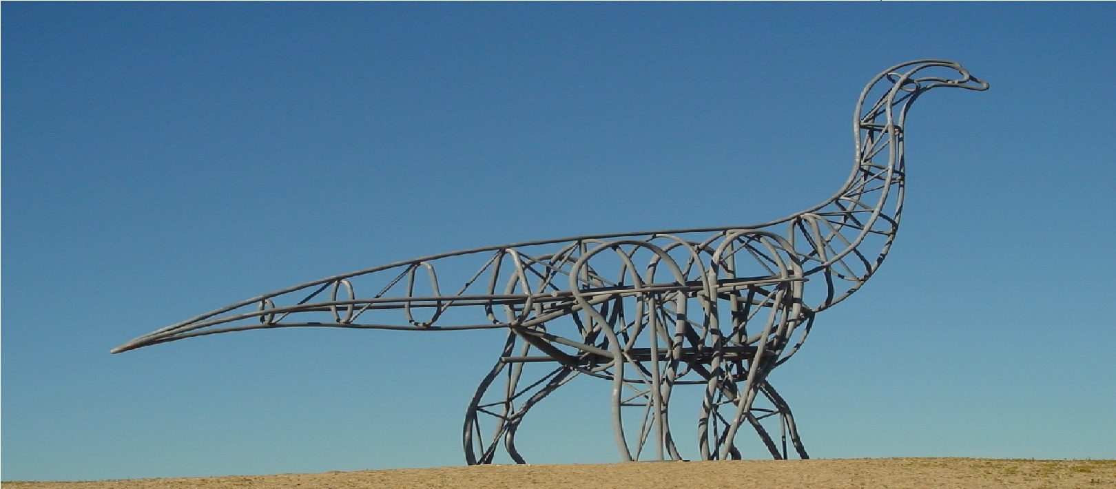
The paleontological site of the dinosaurs in Pedreira do Galinha, discovered in 1994, is located in Serra d''Aire. This deposit is one of the most important in the world record, presenting hundreds of sauropod footprints.
The electrical power for the start-up of the construction of the E.C.L was provided by a group of three generators powered by diesel engines, the Diesel Power-Station. After the start-up of furnaces one and two, a Turbo-Generator Plant fed ...
Distance: 4.5 km; Duration: 3h; Difficulty: Difficult. Location: Aldeia de Chãos Starting point: Cooperative Parking Terra Chã gps-wgs84 coordinates: 39.417998, -8.920365 The natural park of the Aire and Candeeiros mountains are the most i ...
Circular route starting and ending in the Municipal Park. Mixed floor type, 6 km predominantly on a bike path and about 3 km on a dirt track, from the Health Center to the Marinhas do Sal village. Arriving at the Salt Flats of Rio Maior, y ...
From the geological point of view, the saltworks are located in a diapiric valley. A diapir is a low density rock mass, relatively mobile, crossing other denser rocks. This vertical movement from bottom to top, is made along faults and allo ...
With the environmental problems we face today, the growing population and global warming, water is a resource which is increasingly scare and important. This requires increasingly conscientious measures in regard to its usage. The Water Par ...


