The CARSOSCÓPIO - Alviela Ciência Viva Centre is an interactive facility built on promoting science and technology revolving around three interactive exhibits that basically discuss the local Limestone Geological Plates, their origins and t ...
Walking Route Rio Maior - Marinhas do Sal, Rio Maior
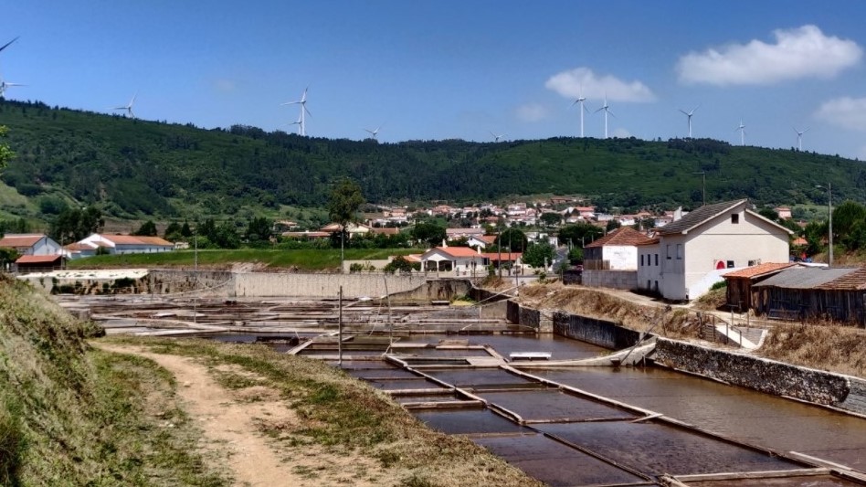
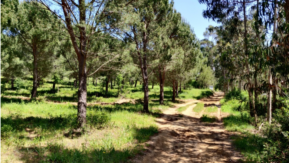
Circular route starting and ending in the Municipal Park. Mixed floor type, 6 km predominantly on a bike path and about 3 km on a dirt track, from the Health Center to the Marinhas do Sal village. Arriving at the Salt Flats of Rio Maior, you can appreciate the exclusivity of this place where salt has been produced for over 900 years. The salt from Rio Maior comes from a well from which water seven times saltier than the sea is drawn; water that becomes salty when it crosses a million-year-old rock salt deposit. In Marinhas do Sal, inserted in the Natural Park of Serras de Aire and Candeeiros, you can contemplate agricultural areas, in a diverse landscape in terms of land occupation, alternating the orchard and vineyard with scrubland, pine and eucalyptus.
CHARACTERISTICS
City: Rio Maior
Postal Code: 2040 - 320
Telephone: 243999300
Email: geral@cm-riomaior.pt
Website: http://https://www.turismoriomaior.pt
Specific Conditions:
-
Method:
A pé
Difficulty Level:
Baixa
Group Visits:
Yes
Minimum Number of Person per group:
1
Maximum Number of Person per group:
0
Observations:
-
Guided Tours:
No
Observations:
-
-
Activity Program:
-
Study and Research Unit:
-
Audiovisual and Multimedia Resources:
-
Volunteering Programs:
-
https://www.turismoriomaior.pt/conte.php?n=5
Where to Eat
https://www.turismoriomaior.pt/conte.php?n=26
T. Rodoviário
Agency Name:
Rodoviária do tejo
Telephone Number:
249810700
Type of Transport:
T. Rodoviário
Agency Name:
Rodoviária do tejo
Telephone Number:
249810700
Parking for private vehicles:
Yes
Located on the banks of the river Maior, it forms the nucleus from hich the village, ton and today the city of Rio Maior ere structured. It as discovered in 1983. So far e are only in the presence of a part of Pars Urbana da Villa, the area here the oner lived ith his family. Still to be found are baths or spas. The collected estate is composed of pieces of great luxury and ealth.
gps: 39.332958 -8.939056
distance: 3km
The complex also presents a walking trail of approximately 2km that takes visitors past many different and typical karsic geological phenomena of rare beauty. One of these attractions is the Amiais stream. This unique stream flows at the su ...
The Minde "Pincha" is a curious upwelling phenomena that is thought to have appeared due to the layering of sediment deposits on the edges of a lake that is believed to have existed in this area in the Glaciation Period – Quaternary. This G ...
The Alviela River Spring is located on the base of a cliff between the national limestone plate region and the lower Tagus tertiary basin. Here, a range of 150 million year old rocks are found together (Jurassic limestone and Tertiary sands ...
The Santo António Plateau is located in the heart of the Serras de Aire e Candeeiros Natural Park, east of the Candeeiros Mountain and south of the Aire Mountain and the São Mamede Plateau. The Santo Antonio Plateau harbors an uncommon kars ...


