The CARSOSCÓPIO - Alviela Ciência Viva Centre is an interactive facility built on promoting science and technology revolving around three interactive exhibits that basically discuss the local Limestone Geological Plates, their origins and t ...
Home /
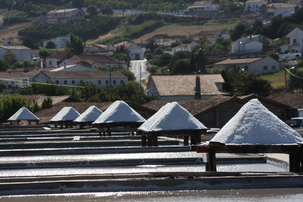
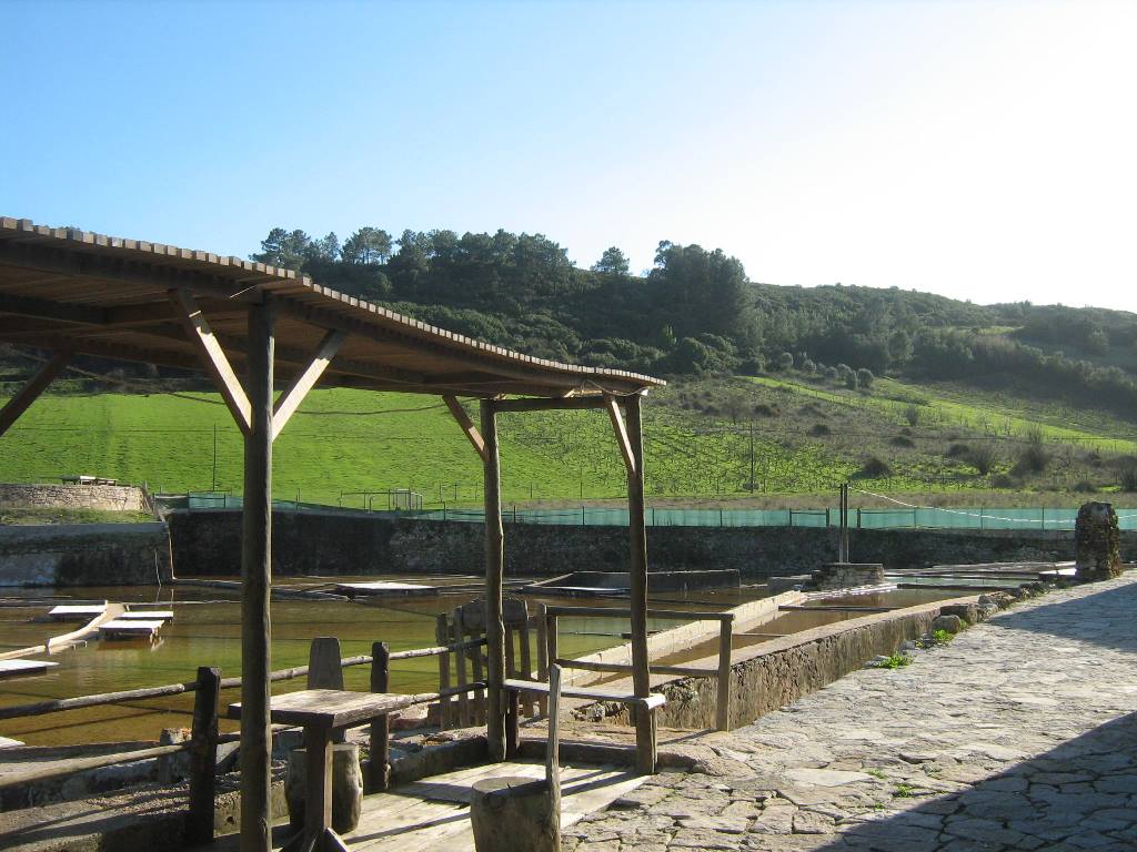
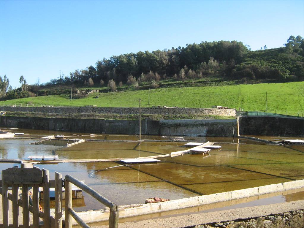
Ecomuseu Salinas de Rio Maior /
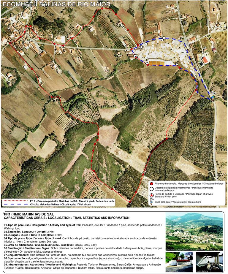
Walking Route Salinas de Rio Maior, Marinhas do Sal