Riverside Beach and Fresh Water Lagoons, Mina de São Domingos
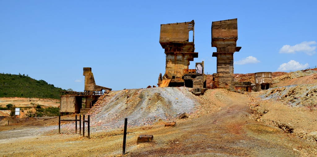
The Riverside Beach of the Sao Domingos Mine has existed since June 2000, and is located in Tapada Grande. It is the largest of two fresh water reservoirs created by the Mason & Barry company during the 19th century to supply water for processing minerals of low content using the wet process. The location is equipped with a parking lot, toilet facilities, and surveillance during the bathing season. Tapada Pequena (or Dam No. 3 in the exploration company´s nomenclature) was installed on the Barranco do Pego da Sarna and is on a higher level than the Tapada Grande (or Dam No.4 ) installed on the Barranco da Cabeça de Aires or Barranco do Pego do Boi. The two reservoirs form a single hydraulic system and are connected by a channel that diverts excess water from the Tapada Pequena to the Tapada Grande, thus ensuring that the maximum advantage is obtained from the river flow. The collection basin of the Tapada Grande has a surface of 27,000,000 m2, and that of Tapada Pequena measures 6,600,000 m2. Tapada Grande was built around 1881 and presents the following maximum dimensions: 18m in height, 233m long at the top, 880,300 m2 of surface, in other words, the ability to contain 5,881,938 metric tonnes of water. Tapada Pequena was built around 1884 and presents the following maximum dimensions: 15 m high, 150 m long at the top and area of 288,658 m2, with the ability to contain 1,394,660 metric tons. When the entire capacity is filled, the Sao Domingos Mine hydraulic system can store, in theory, 7,276,598 tonnes of water. In 1955, the total consumption of water was estimated to be 3,481,900 tonnes per year, including the water required by the kilns 1 and 2 (1,095,000), the Achada do Gamo power plant (12,000) and the Achada lixiviation "tipes" (150,000), wagon washing (7,500), supply of the locomotives along the branch tracks (4,500), locomotives along the main line (6,000) and the Achada Washing station (39,000), the water spent in the mining selection facilities (700,000), watering gardens (60,000), animal consumption (1,500) and even that consumed by evaporation (1,406,400).
CHARACTERISTICS
City: Mina de São Domingos
Postal Code: 7750 - 146
Telephone: 286647534
Email: fserraomartins@gmail.com
Website: http://fundacaoserraomartins.pt/
Specific Conditions:
-
Method:
-
Difficulty Level:
-
Group Visits:
No
Guided Tours:
No
Observations:
-
Táxi
Agency Name:
Geral Táxis
Telephone Number:
286611117
Type of Transport:
T. Rodoviário
Agency Name:
Rodoviária do Alentejo
Telephone Number:
284313620
Parking for private vehicles:
Yes
The Pyrite Route is a thematic route of mining and geological tourism dedicated to the Iberian Pyrite Belt, considered one of the main mining regions of Europe, with more than 90 known massive sulphide deposits, distributed throughout the regions of Alentejo and Andalusia. In addition to the pyrite mines occur in the province hundreds of manganese deposits and veins of copper, lead, barium and antimony.


